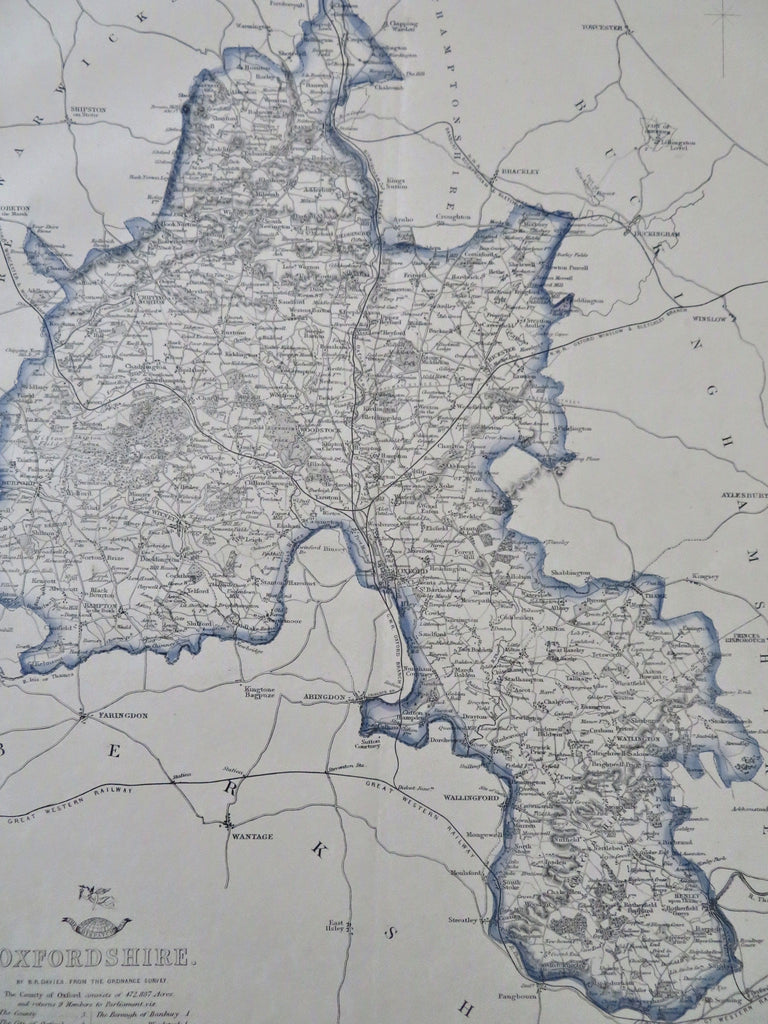
Oxfordshire England Oxford Hampton Watlington Witney 1850-60's Weller County Map
Brian DiMambro


Oxfordshire.
(Old Maps, 19th Century Maps, Europe, United Kingdom, England, Oxfordshire, Oxford, Hampton, Watlington).
Issued 1850-60's, London for the Dispatch by Edward Weller.
Mid 19th century lithographed English county map with original outline hand color.
Old centerfold down the map, likely as issued within a newspaper of the era.
Sheet Measures c. 18" H x 13" W.
Printed Area Measures c. 17" H x 12" W.
Cartographic Reference(s):
Tooley's Dictionary of Mapmakers, vol. 4.
[R32511].
