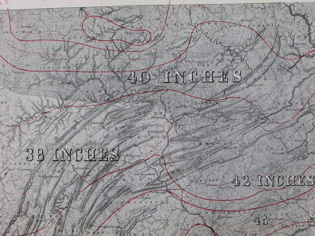
Pennsylvania climatological map Climate yearly temperature rainfall 1872 old map
AntiqueMapsPrints.com


Climatological Map of Pennsylvania
Showing the Average Temperature,
Amount of Rainfall &c.
By Lorin Blodget.
Issued Philadelphia, 1872 by O.W. Gray.
Lovely, early, remarkably detailed Meteorological thematic state map. Among the earliest thematic maps to depict Pennsylvania with this level of scientific fact expressed cartographically.
Explanatory key at top right denotes symbols for mean temperature in the summer and winter, with variable shading indicating rainfall. Overprinted in red to show clearly show these these isothermal lines.
In near VG or better condition, minor light surface age wear and uniform overall paper toning as typical, text on reverse as always, overall remaining a nice looking visual example.
Sheet measures c. 16 1/2" x 12"
Engraved area measures c. 16" x 9 1/2".
Delaney, Landmark Thematic maps , p. 57.
Tooley's Dictionary of Mapmakers , vol. II, pg. 206
[R12748]
