Persia Arabia Iran Afghanistan Baluchistan 1832 Carey & Lea miniature map
Brian DiMambro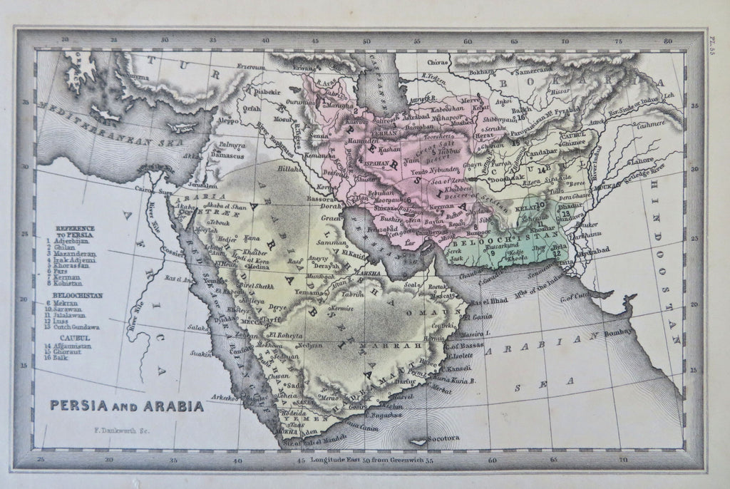
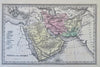
Persia and Arabia.
(Old Maps, 19th Century Maps, Asia, Middle East, Ottoman Empire, Arabian Peninsula, Persia, Iran, Afghanistan, Baluchistan).
Issued 1832, Philadelphia by Carey & Lea for Starling. Engraved by F. Dankworth.
Charming little early 19th century American produced map, engraved with original hand color. A gem miniature, precisely engraved with great delicacy and skill.
Paper has uniformly toned to give the map a unique mellow visual glow unlike anything modern.
A very nice looking example, most pleasing age patina, any minor age flaws easy to overlook or forgive.
Sheet Measures c. 6 3/4" H x 4 1/4" W.
Engraved Area Measures c. 5 1/2" H x 3 1/2" W.
Cartographic Reference(s):
Tooley's Dictionary of Mapmakers, vol. 1.
[B12439].