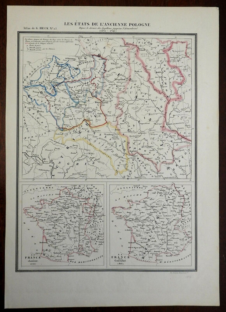
Polish-Lithuanian Commonwealth Revolutionary France 1842 Lemercier map
Brian DiMambro- Antiquarian Books, Maps & Prints


Les Etats de L'Ancienne Pologne 1572-1795.
(Europe, Poland, Polish-Lithuanian Commonwealth, Kingdom of France, Revolutionary France).
Issued 1842, Paris by Lemercier.
Mid 19th century engraved map with original outline color.
Nice looking example, pleasing age patina, any minor age flaws easy to overlook or forgive.
Sheet Measures c. 17" H x 12" W.
Engraved Area Measures c. 13 1/2" H x 10" W.
Cartographic Reference(s):
Tooley's Dictionary of Mapmakers, vol. 3.
[R24147].
