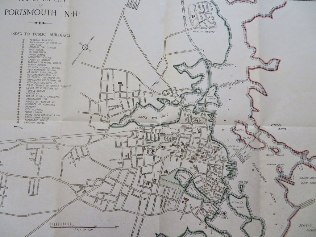
Portsmouth New Hampshire city plan 1925-33 Kimball scarce large detailed map
Brian DiMambro


Map of the City of Portsmouth NH. This map Authorized and Prepared under the direction of the Portsmouth Chamber of Commerce in cooperation with W.A. Greenough Co., Publishers, Boston. Compiled by Dow, Harlow and Kimball Portsmouth. Authorities Stone & Webster. 1925.
(Old Maps, 20th Century Maps, Americana, United States, New England, New Hampshire, Portsmouth, City Plan).
Issued 1925- 33, Boston.
Very interesting and uncommon original vintage map, issued early 20th century. With detailed very attractive hand color.
A long key of more than 30 specific buildings is seen running down below the title, all located on the map by tiny numbers and outline shapes. These include such well known icons as the original Atlantic Heights School, the New Franklin School, High School, Chamber of Commerce building, YMCA, Kearsarge House, Langdon Hotel, numerous churches, etc. Interestingly, the neighborhood of Atlantic Heights shows several roads then laid out but not yet constructed.
Original fold lines as issued.
Sheet measures c. 17" H x 21 3/4" W.
Printed area measures c. 15" H x 19 3/4" W.
[B14716].
