Posen Germany German Empire 1873 Ravenstein detailed map
Brian DiMambro- Antiquarian Books, Maps & Prints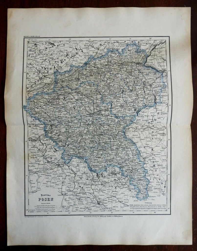
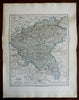
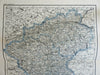
Provinz Posen.
(Europe, Germany, German Empire, Kingdom of Prussia, Posen).
Issued 1873, Hildburghausen by the Bibliographischen Institut. Map by Ravenstein.
Late 19th century color lithographed map.
Well preserved, nice looking example with pleasing age patina.
Original center fold as issued.
Sheet Measures c. 14 1/2" x 18 3/4".
Cartographic Reference(s):
Tooley's Dictionary of Mapmakers, vol. 4.
[R26087].