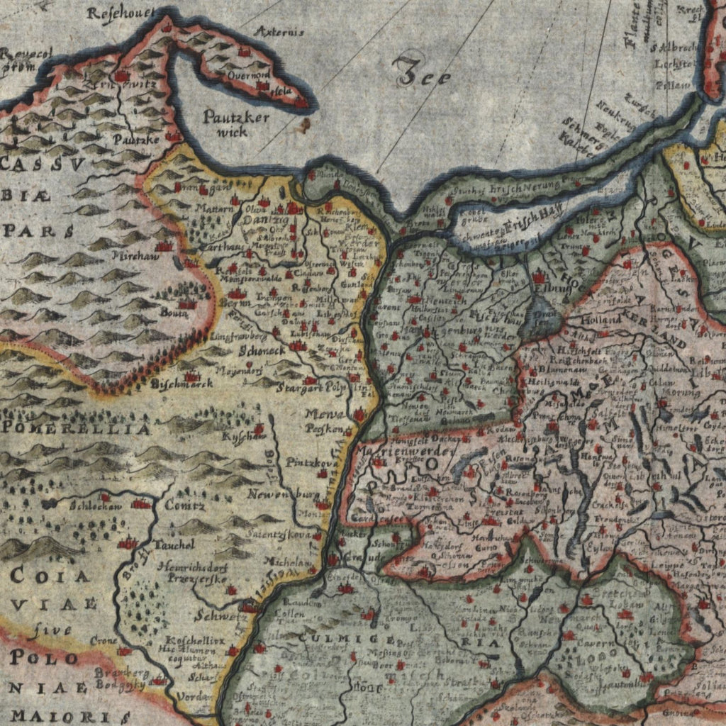
Prussia Baltic Sea Poland Lithuania 1694 fine old hand color map
Brian DiMambro- Antiquarian Books, Maps & Prints


Prussiae Nova Tabula.
Issued c. 1694, Wolfenbuttel, Germany (possibly Amsterdam) by Wolters for Cluverius.
Charming 17th century antique map. Engraved with beautiful full hand color.
Sheet remains well preserved, keeping in mind it is not modern or new, so minor flaws to paper unworthy of specific mention are sometimes to be expected. Clean, well-preserved example with a lovely visual appearance.
Original fold-lines as issued.
Sheet measures c. 11 3/4" x 13 7/8".
Printed area measures c. 10 1/2" x 13 1/8".
Tooley's Dictionary of Mapmakers, vol. 4, p. 406.
[R15715]
