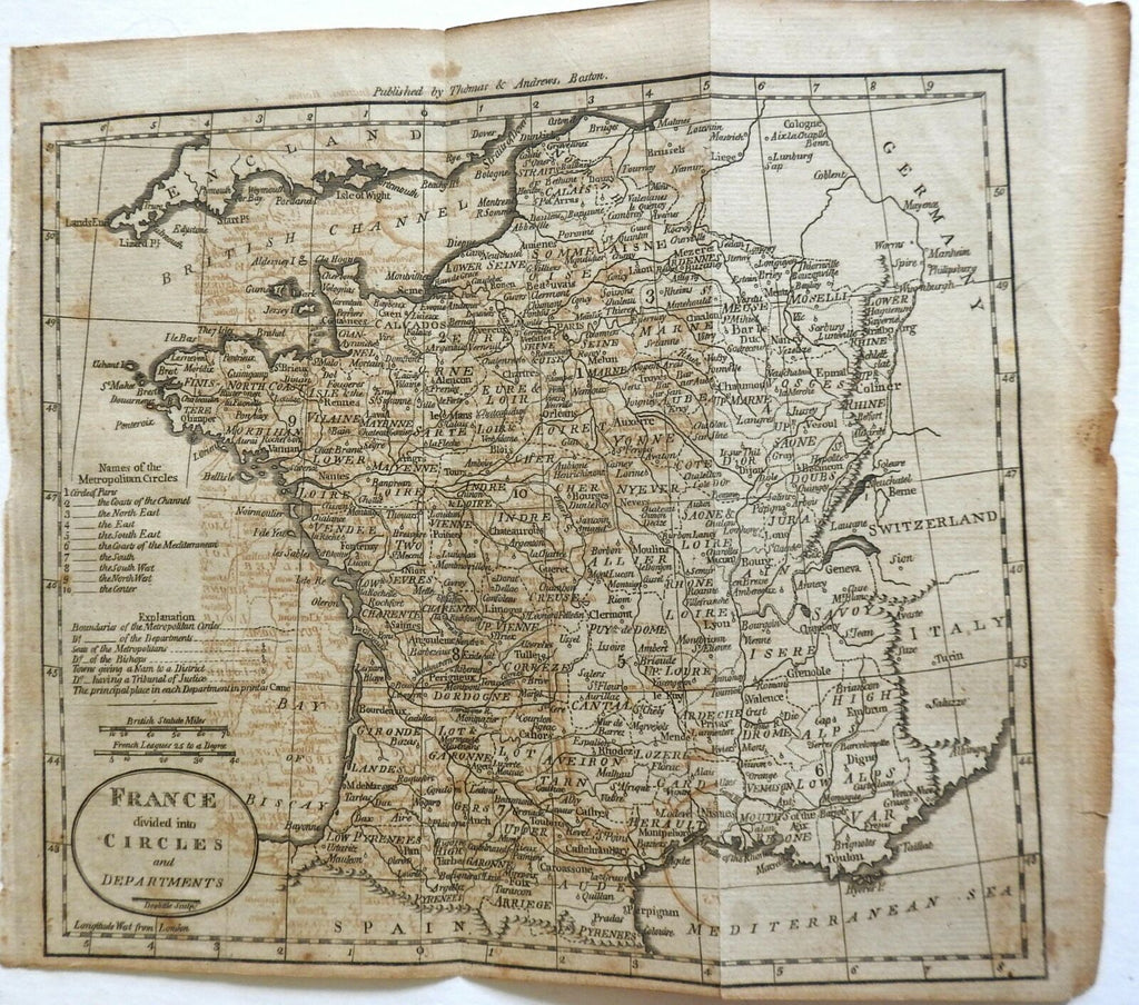
Revolutionary France French Departments Metropolitan Circles 1796 Doolitttle map
Brian DiMambro- Antiquarian Books, Maps & Prints


France Divided into Circles and Departments.
(Europe, France, Revolutionary France, Metropolitan Circle, American engraving).
Issued Boston, 1796 by Thomas & Andrews. Engraved by Amos Doolittle.
Scarce late 18th century American produced & engraved map.
Paper age toned with some overall offsetting and toning, fold lines as issued, map still overall clean and displays well.
Sheet measures c. 8 3/8" x 12 7/8".
Printed area measures c. 7 1/4" x 12 1/8".
Wheat & Brun, Maps Published in America Before 1800, 792.
O'Brien, Amos Doolittle: Engraver of the New Republic, pp. 21-29.
Tooley's Dictionary of Mapmakers, v. 1, p. 380.
[R23343]
