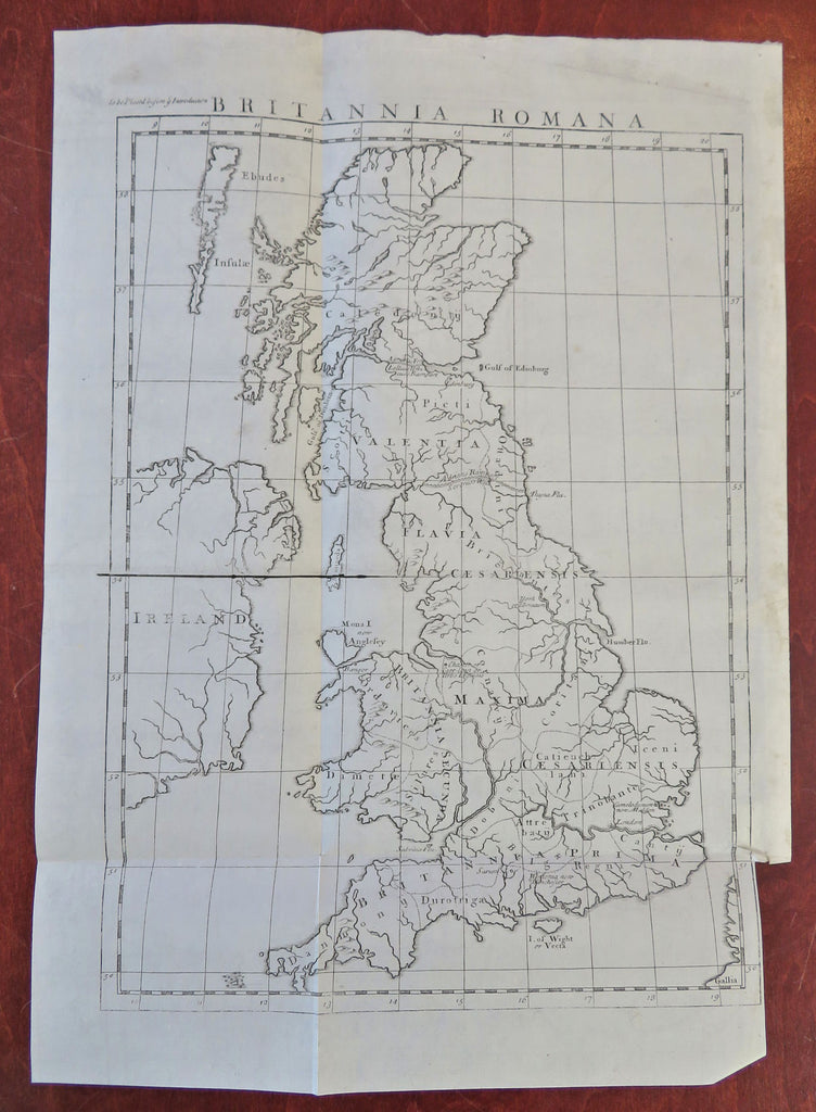
Roman Britain Britannia Romana Pictland Wales 1732 engraved historical map
Brian DiMambro


Britannia Romana.
(Old Maps, 18th Century Maps, Historical Maps, Ancient World, Europe, British Isles, Roman Empire, Wales, Pictland, England, Ireland).
Issued 1732, London.
Early 18th century engraved historical folio sheet map
Nice looking example, pleasing age patina, slight short edge tear lower right at bottom of inset tab, any minor age flaws easy to overlook or forgive.
Original fold lines as issued.
Sheet measures c. 18" H x 12 3/4"W.
Engraved area measures c. 15" H x 11" W.
[R32446].
