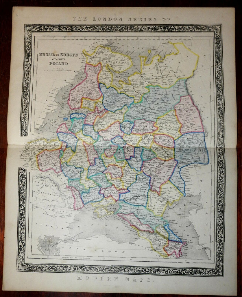
Russia in Europe Kingdom of Poland 1846 old rare Betts map folio Livonia Vilna
Brian DiMambro- Antiquarian Books, Maps & Prints


Russia in Europe Including Poland.
Issued London, c.1846-50 by Betts at 115, Strand for his folio " London Modern Atlas ".
Kingdom of Poland labelled at left, Orenburg & Perm regions at right side bordering Tartary and Tobolsk. Black Sea and Turksih northern coastline along the bottom.
Attractive and very scarce mid-19th century folio sheet map. Lithographed with note worthy vivid unique original hand color, a decorative floral and foliate patterned border. Very nicely printed map.
Paper lightly uniformly toned with some light scattered spotting, edges browned & lightly worn, otherwise clean and visually attractive example. Entirely acceptable if not outright pleasing in appearance.
A map which does not appear in the cumulative Antique Map Price Record 1983-2011. Scarce.
Sheet measures c. 18 1/2" H x 14 5/8" W.
Printed area measures c. 16 1/4" H x 13" W.
Original fold line as issued.
[R21111]
Tooley's Dictionary of Mapmakers, v. 1, p. 153. [only a short entry on this small British publisher and there is no mention of this address nor this atlas].
