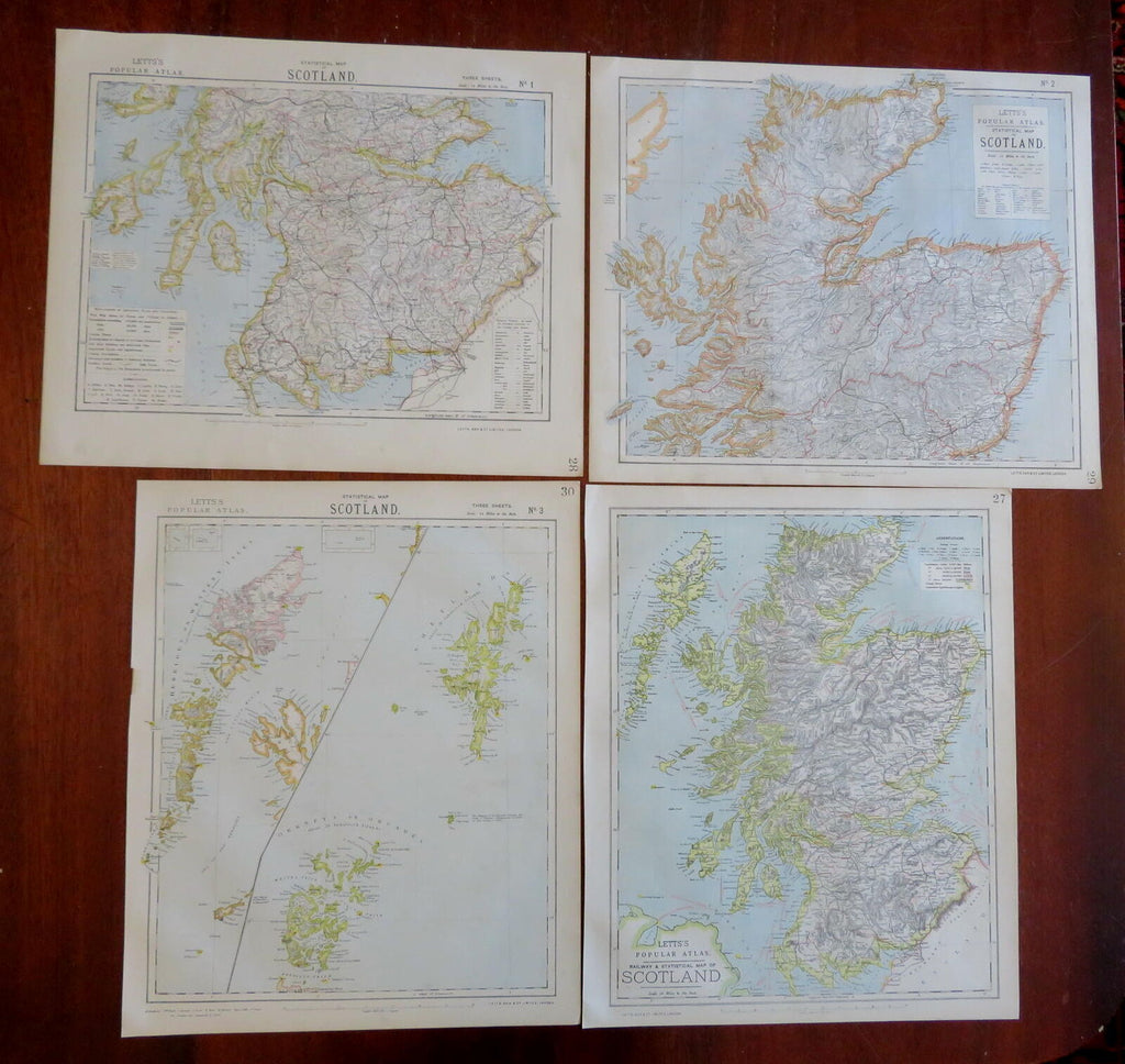
Scotland Lot x 4 Maps Railroads c. 1883 Letts multi-sheet color detailed maps
Brian DiMambro- Antiquarian Books, Maps & Prints


Lot x 4 Scotland maps.
(Old Maps, 19th Century Maps, Europe, British Isles, United Kingdom, Scotland, Edinburgh, Glasgow, Aberdeen).
Issued c. 1883, London by Letts, Son & Co.
Late 19th century color lithographed map lot. Lot consists of 4 sheets, please see photos.
Well preserved, nice looking example with pleasing age patina.
Sheets Measure c. 17 1/4" H x 14 1/4" W.
Printed Areas Measure c. 16" H x 12 1/2" W.
Cartographic Reference(s):
Tooley's Dictionary of Mapmakers, vol. 3.
[R29961].
