Seven United Provinces Netherlands Holland 1807 scarce Barlow hand color Map
Brian DiMambro![Seven United Provinces Netherlands Holland 1807 scarce Barlow hand color Map](http://briandimambro.com/cdn/shop/products/r31857d_1024x1024.jpg?v=1690562068)
![Seven United Provinces Netherlands Holland 1807 scarce Barlow hand color Map](http://briandimambro.com/cdn/shop/products/r31857d_small.jpg?v=1690562068)
![Seven United Provinces Netherlands Holland 1807 scarce Barlow hand color Map](http://briandimambro.com/cdn/shop/products/r31857c_small.jpg?v=1690562068)
![Seven United Provinces Netherlands Holland 1807 scarce Barlow hand color Map](http://briandimambro.com/cdn/shop/products/r31857b_small.jpg?v=1690562068)
![Seven United Provinces Netherlands Holland 1807 scarce Barlow hand color Map](http://briandimambro.com/cdn/shop/products/r31857a_small.jpg?v=1690562068)
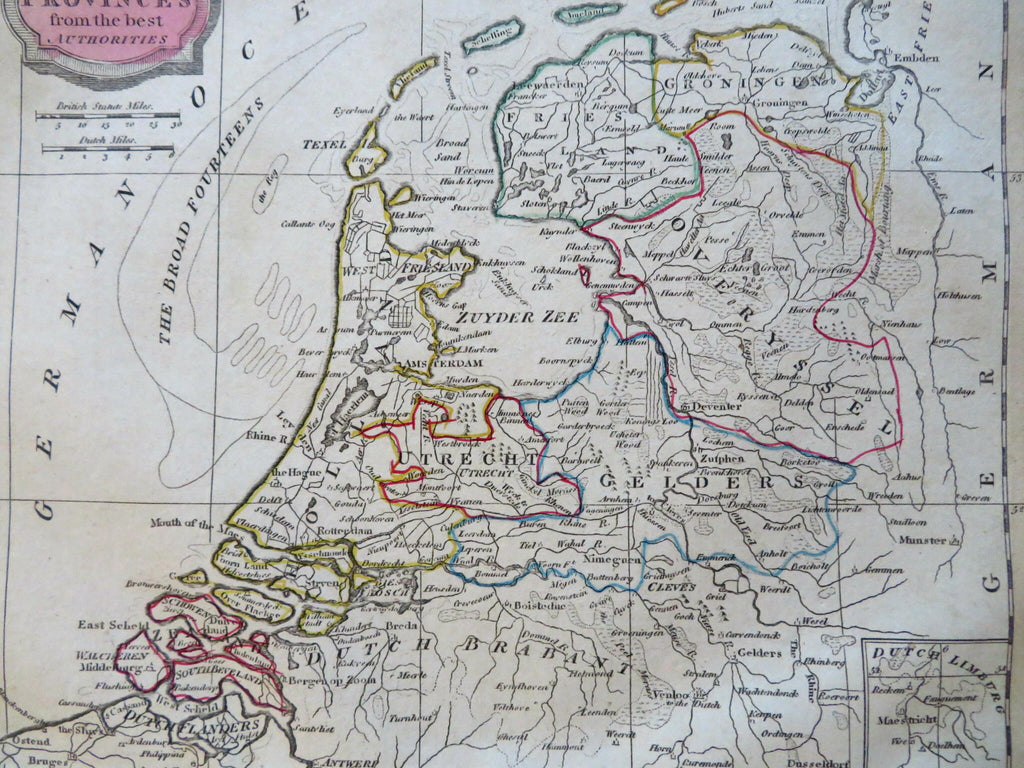
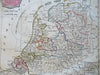
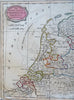
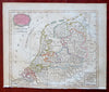
The Seven United Provinces from the Best Authorities.
(Old
Maps, 19th Century Maps, Europe, Low Countries, Netherlands, Holland, Amsterdam, Rotterdam, Utrecht, Zutphen, Deventer, Haarlem).
Issued 1807, Bungay, England by C. Brightly & E. Kennersly. Engraved by E. Barlow.
Uncommon early 19th century engraved map with original outline hand color.
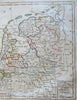
Well preserved, bottom edge with nicks and stitch holes due to previous binding, nice looking example with pleasing age patina.
Sheet Measures c. 8" H x 9 3/4" W.
Engraved Area Measures c. 7 1/4" H x 8 1/2" W.
Cartographic Reference(s):
Tooley's Dictionary of Mapmakers, vol. 1.
[R31857].