South Africa Afrika European colonies overland routes c.1865 Meyer old map
AntiqueMapsPrints.com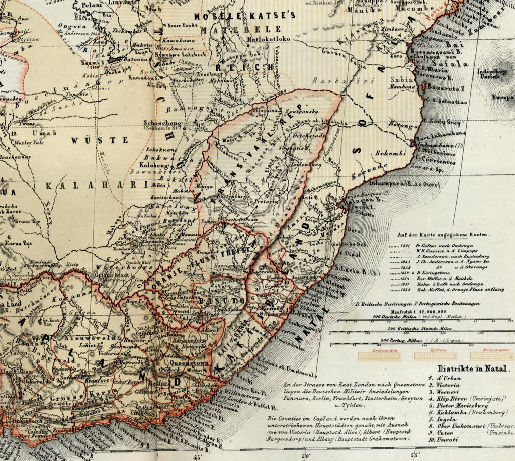
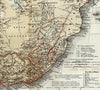
Sud-Afrika
(South Africa)
Issued Hildburghausen, Germany c. 1864-7 by Meyer.
Uncommon small-format mid-19th century color-lithographed map.
Uppermost key at bottom right details the region's various overland routes between 1851-8. Below this are further explanation details, distance scales and a District list. Bottom left has a list of various named mountains with heights and an ethnic tribal list. A suprising level of detail for a map of this small size.
Sheet is gently uniformly age toned with light to moderate scattered spotting.
Original fold line as issued.
Sheet measures c. 11 1/2" x 9 1/4".
Engraved area measures c. 10 1/2" x 8".
[R12998].
Espenhorst,
Bibliographie der Handatlanten
, 3.5.1 (p. 192).
Tooleys
Dictionary of Mapmakers
, v. 3, p. 245.