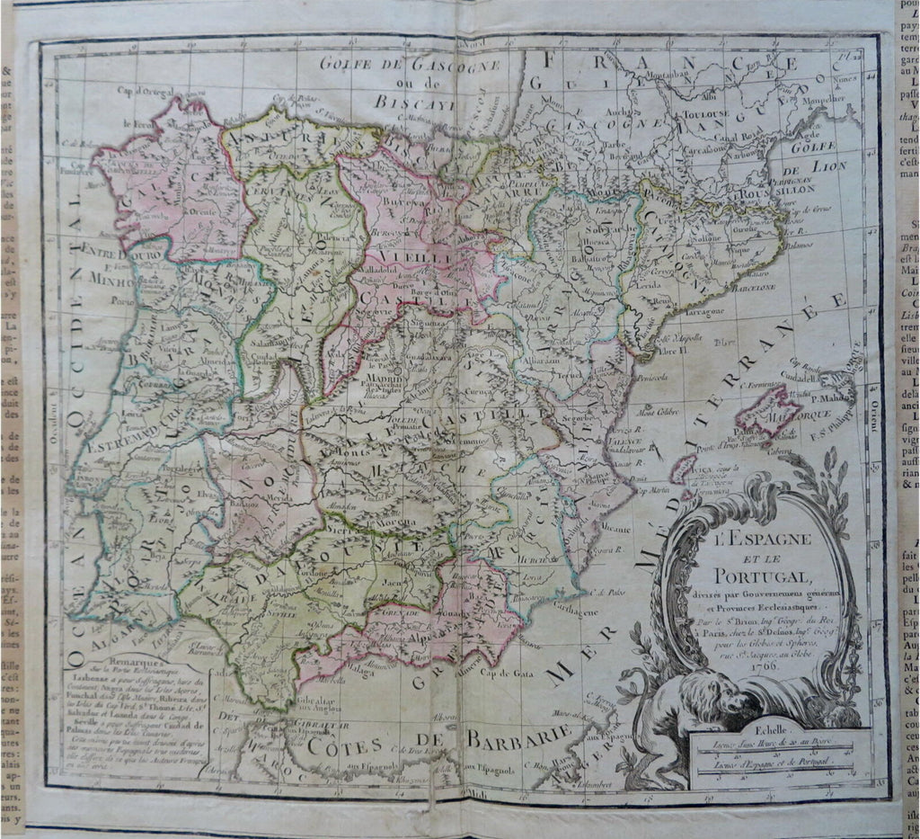
Spain & Portugal 1766 Brion & Desnos decorative historical map
Brian DiMambro- Antiquarian Books, Maps & Prints


L'Espagne et le Portugal.
(Old Maps, 18th Century Maps, Europe, Iberia, Spain, Portugal, Madrid, Lisbon, Pamplona, Seville, Barcelona)
Issued Paris, 1766 by Brion de la Tour & Desnos.
Decorative mid-18th century antique map. Engraved with original hand color. Central diagram is surrounded by two columns of text which have been separately printed with movable type and then pasted onto the sheet by the publisher as issued.
Nice lion cartouche lower right.
Sheet displays a pleasing visual appearance. Centerfold repaired long ago on reverse to close splitting.
Original fold line as issued.
Sheet measures c. 13 1/8"H x 19 3/4"W.
Printed area measures c. 9"H x 10 1/8"W.
Tooley's Dictionary of Mapmakers, vol.1, p. 191.
[R30529]
