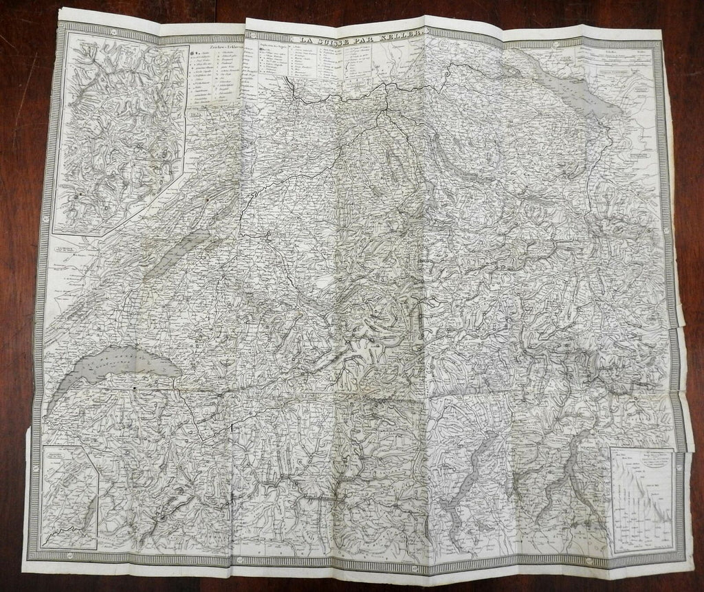
Switzerland by Keller 1840 Swiss Cantons large detailed scarce map
Brian DiMambro- Antiquarian Books, Maps & Prints


La Suisse Par Keller.
(Europe, Switzerland, Swiss Cantons, Bern, Zurich, Geneva, Lucerne, Thurgau, Lake Constance, Lake Geneva, Swiss Alps).
Issued c.1840. Map by Keller.
Detailed and uncommon large mid-19th century engraved map. Mountain height comparison diagram inset at lower right, environs of Geneva inset lower left. Extensive key at top near title notes dozens of specific features such as mines, chateaus, monasteries, ruins, battle sites, caverns, bridges, etc.
Left blank margin trimmed touching neat line at top, old paper repairs on reverse along horizontal fold line, bottom right corner backed long ago with old paper, couple small holes along fold lines. Despite this, map still displays well and is worthy of display. Nice looking example of what must be an uncommon map of this era.
Original fold lines as issued.
Sheet Measures c. 22" H x 25 1/2" W.
Engraved Area Measures c. 21 1/2" H x 25 "W.
[R24722].
