Texas w/Galveston city plan inset 1874 Mitchell decorative hand colored nice map
Brian DiMambro- Antiquarian Books, Maps & Prints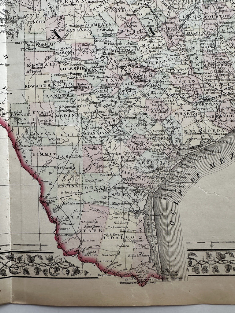

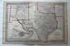
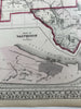

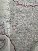


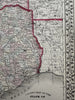
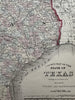
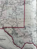
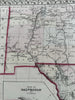
County Map of the State of Texas showing portions of the adjoining states and territories.
Issued 1873-4 Philadelphia by S.A. Mitchell. (imprint is 1873, atlas t.p. 1874).
Nice large mid-19th century lithographed map, with original hand color.
Large portions of New Mexico and Indian Territory are shown with nice levels of details, especially the early large counties.
Attractive example, clean, pleasing age patina, small minor stain spot near Galveston city, any minor age flaws easy to overlook or forgive.
Sheet Measures c. 15” x 23”.
Engraved Area Measures c.14" x 21".
Cartographic Reference(s):
Reps, American Maps and Mapmakers, p. 313.
Tooley's Dictionary of Mapmakers, vol. 1 & vol. 4, pp. 260.
R36519