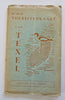
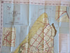
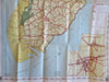
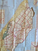
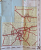
Texel Netherlands Nederland Tourist Map c. 1950's pictorial sightseeing map
Brian DiMambro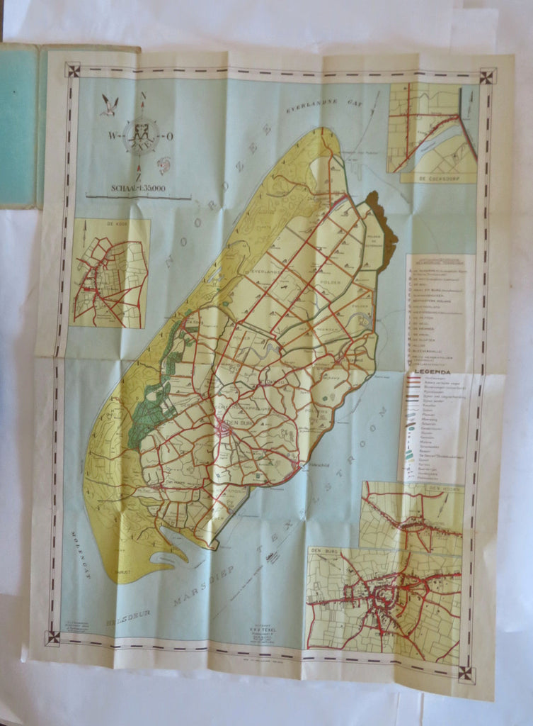
(Old Maps, 20th Century Maps, Travel, Tourism, Europe, Low Countries, Netherlands, Texel, Tourist Maps).
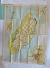
De Officiele Toeristenkaart van Texel.
Published c. 1950's (?), Den Haag, Netherlands.
Folding color tourist map. Text in Dutch. Art likely by C.L.F. Bredemeijer.
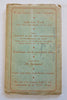
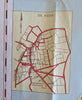
Publisher's pictorial card stock folding map inside a folder. An extensive index down right side noting over 2 dozen features with small pictorial symbols.
Item is old and shows some signs of handling and time. Item is not new or in "new" condition.
Paper gently age worn, slight rubbing, remains overall clean and attractive as a fragile survival.
Paper is lightly toned, signs of handling, small scattered spotting, internally still well preserved, tight, sound.
Still attractive on the shelf. The scarce map displays a pleasing and unique age patina and overall is in nice antiquarian condition, any age flaws easy to overlook or forgive.
Please review photos for more detail and our best attempt to convey how this offering survives.
Covers measures c. 8 3/4" H x 5 1/4" W.
[B12685].