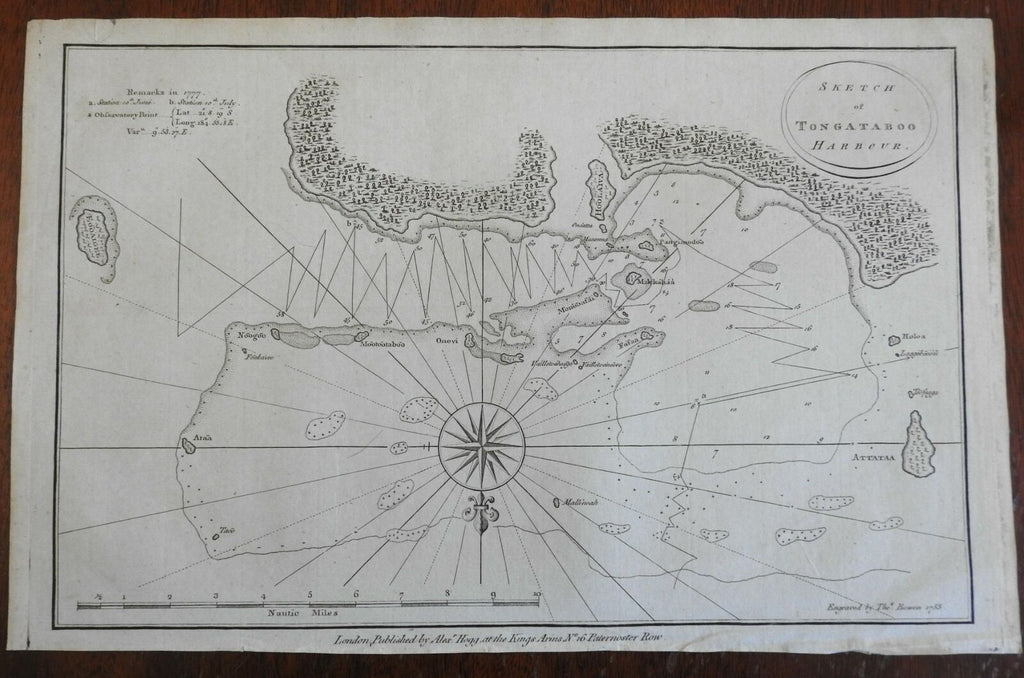
Tongatapu Harbor Kingdom of Tonga Polynesia Pacific 1785 Bowen coastal survey
Brian DiMambro- Antiquarian Books, Maps & Prints


Sketch of Tongataboo Harbor.
(Oceania, Polynesia, Tonga, Tongatapu, Coastal Chart, Naval Survey).
Issued 1785, London by Alexander Hogg. Engraved by Thomas Bowen.
Capt. Cook voyage late 18th century engraved coastal survey.
Nice looking example, pleasing age patina, any minor age flaws easy to overlook or forgive.
Sheet measures c. 9 1/2" H x 14 1/2" W.
Engraved area measures c. 8 3/4" H x 13 1/2" W.
Cartographic Reference(s):.
Tooley's Dictionary of Mapmakers, vol. 1.
[R26015].
