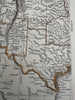
United States territorial west Fort Mormon 1850 Lowry scarce 2 sheet color map
Brian DiMambro- Antiquarian Books, Maps & Prints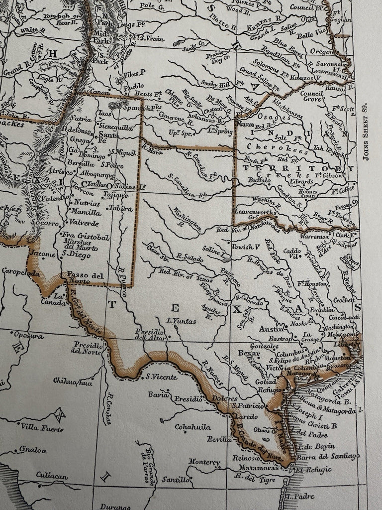
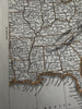
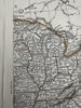
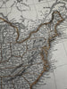
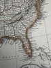
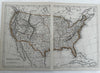
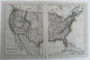
United States.
Issued c. 1846-53, London by Chapman & Hall. Map by J. W. Lowry.
Cerographic (wax engraved) maps with lithographed outline color. Set of two maps as seen.
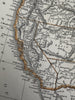
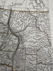
Clearly shows large Territories in the west, pre- Washington state. Note size and shape of Oregon and New Mexico as well as a huge Nebraska. Near the great Salt Lake in Utah is named "Fort Mormon".
Maps are detailed and utterly unique to this era. Fascinating mid-19th century cartographic artifact capturing this location during a period of rapid upheaval and change.
Overall clean and attractive example.
Maps still displays well and look great.
Each map sheet measures c. 12 3/8” x 9 3/8”.
Printed area of each sheet c. 11 1/8” x 8 1/2”.
R36573