Utah & Nevada early counties wagon routes 1874 Mitchell hand colored nice map
Brian DiMambro- Antiquarian Books, Maps & Prints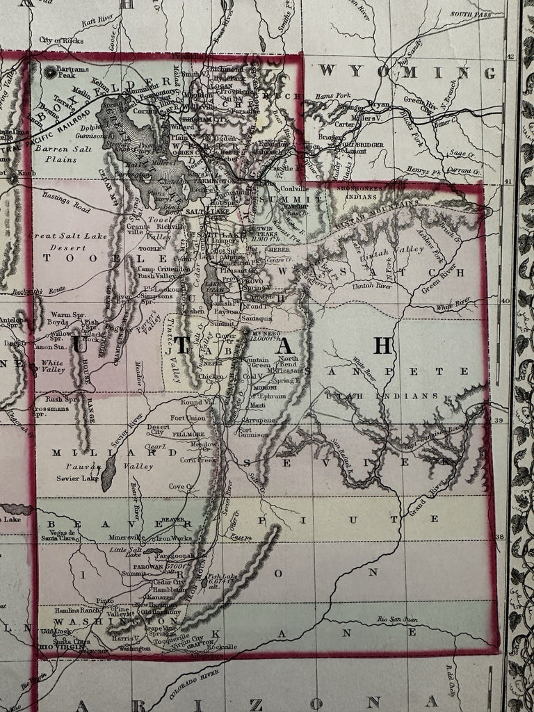
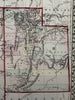
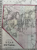
County map of Utah and Nevada.
Issued c. 1872-4 Philadelphia by S.A. Mitchell.
Nice variant issue of this well-known mid-19th century lithographed map, with original hand color. Early county configurations and details, including early wagon travel routes, mountain heights, topographical notations, etc.
Attractive example, clean, pleasing age patina, any minor age flaws easy to overlook or forgive.
Sheet Measures c. 15 1/4" x 12 1/4”.
Engraved Area Measures c. 14" x 11 1/4”.
Cartographic Reference(s):
Reps, American Maps and Mapmakers, p. 313.
Tooley's Dictionary of Mapmakers, vol. 1 & vol. 4, pp. 260.
R36525