Vera Cruz Mexico Island of Sacrifices 1827 Blunt Nautical Coastal Survey Map
Brian DiMambro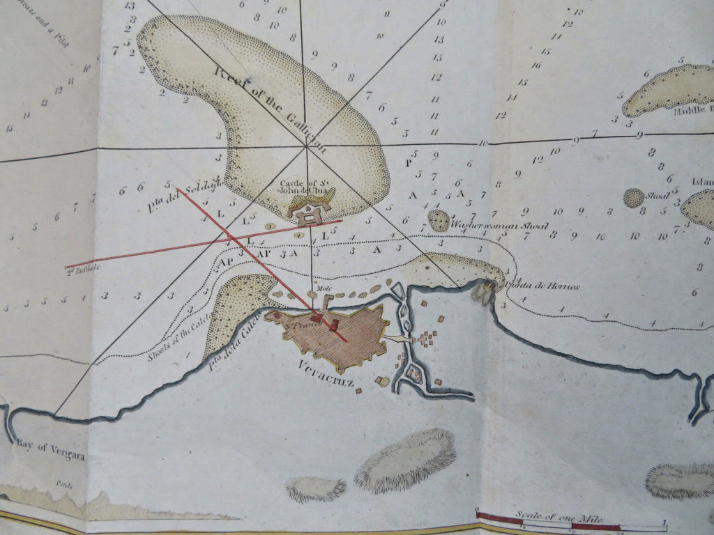
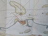
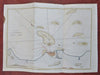
Chart of the Harbor of Vera Cruz.
(Old Maps, 19th Century Maps, Nautical Charts, Coastal Surveys, North America, Mexico, Vera Cruz).
Issued 1827, New York by E. & G.W. Blunt.
Early 19th century engraved nautical survey with attractive hand color. Profile views across bottom left.
Remains a nice looking example with a pleasing age patina, small stain along left edge well outside the neat line. Any age flaws mostly minor and easy to overlook or forgive.
Original fold lines as issued.
Sheet Measures c. 9" H x 12 3/4" W.
Engraved Area Measures c. 8" H x 11 1/4" W.
Cartographic Reference(s):
Tooley's Dictionary of Mapmakers, vol. 1.
[B13244].