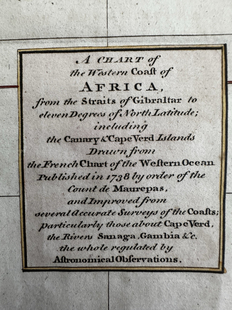
West Africa coast Morocco Sanhaga Mandinga Canary islands 1751 Kitchin map
Brian DiMambro- Antiquarian Books, Maps & Prints


A Chart of the Western Coast of Africa from the Straits of Gibraltar to the Canary and Cape Islands..
Issued 1753, London by Kitchin.
A visually superior example, clean, lovely hand coloring, overall map displays a pleasing age patina.
Old fold line across center, light age spotting along right side, scarcely worthy of mention.
Sheet size c. 14 1/2" H x 9" W.
Engraved area c. 9 5/8" x 7 3/4".
Pictures show this mid-18th century map well. Please review them carefully at your leisure so you may clearly see what you are buying.
R36488
