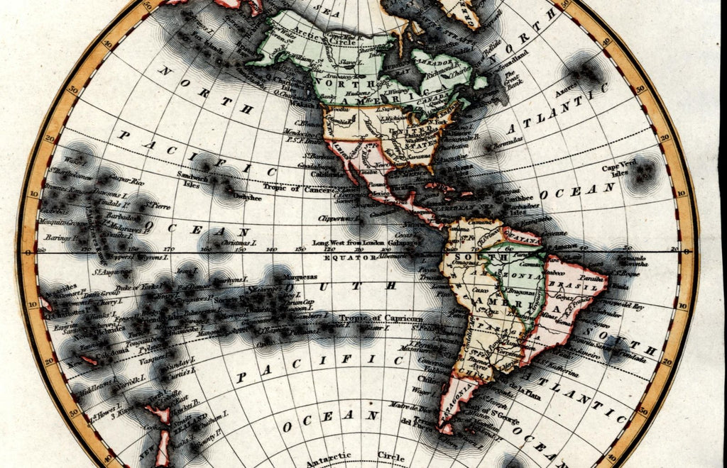
Western Hemisphere North South America New Albion Amazonia c.1835 Walker old map
AntiqueMapsPrints.com


Western Hemisphere.
(North America / South America / Pacific Islands / New Zealand / Atlantic & Pacific Oceans / etc.)
Issued Boston, c.1830-35 by Samuel Walker. Engraved by Wm. Chapin.
Charming early 19th century American-produced antique map.
Engraved with pleasing artistic full hand color. A superior visual example.
Map identifies a number of political-geographical curiosities: California as "New Albion" and Mexico still retaining possession; "Amazonia" in South America; Hawaii as "Sandwich Islands"; Southern Argentina as "Patagonia"; etc.
In VG or better condition, clean, overall a most attractive example.
Sheet measures c. 8 1/4" x 10" .
Engraved area measures c. 7 1/2" x 8".
Tooley's Dictionary of Mapmakers , vol. IV, pg. 348.
[R12654].
