Wind Heads map Compass Rose North South East West 1666 De Fer old antique chart
Brian DiMambro- Antiquarian Books, Maps & Prints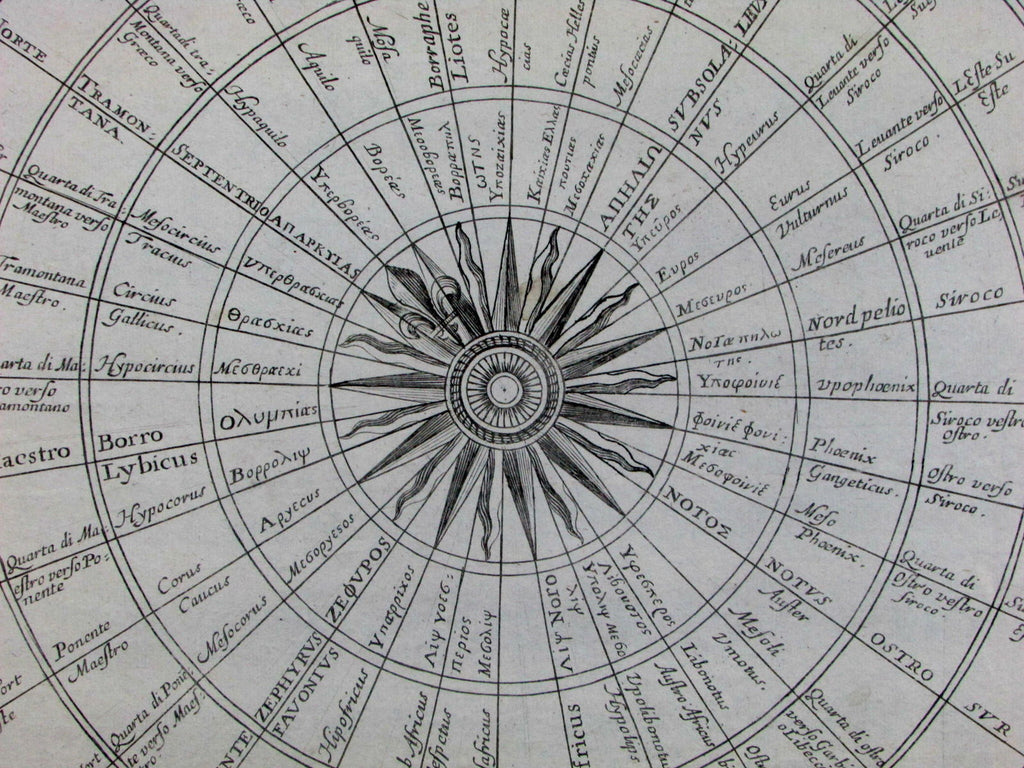
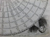
Carte Generalles de tous les Vens
et les mons diceux en fix lengue
suivant les mers et riviere
(Wind Map- Thematic cartography- Compass Rose with Wind Heads)
Issued Paris, 1666 by N. de Fer.
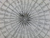
Fascinating and very scarce mid-17th century engraved wind chart. Ornate compass rose at center orienting north towards top left corner.
Excellent early example of thematic cartography, specifically Meteorology and global climate
Includes wonderfully rendered wind heads at each corner. Beautifully detailed and laid out, wind directions all named precisely along concentric circles in six different European languages, not including English.
Bottom right corner has been masterfully re-instated by a highly skilled paper artisan in a manner easy to forgive or overlook. Light soft old creases down right side. Minor light toning otherwise clean. To our eyes and for most people, an entirely acceptable and very nice looking example of this very rare antique thematic cartographic wind chart.
Small square folio format.
Sheet measures c. 17" x 14 3/4".
Printed area measures c. 14" x 14 1/4".
Delaney, Landmark Thematic Maps , 57-66.
Tooley's Dictionary of Mapmakers , vol. 2, p. 59.
[R13874]