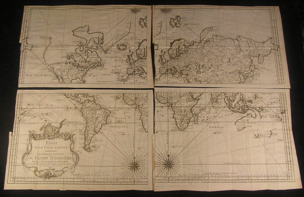
World 1748 by Bellin rare decorative 4 sheet large antique map set
Brian DiMambro- Antiquarian Books, Maps & Prints


Essay d'une Carte Reduite Contenant les Parties Connues du Globe Terrestre
(World map in 4 sheets, Ottoman Empire, Barbary, Moscovie, Persia, Tibet)
Issued 1749, Paris-by N. Bellin
Fine and scarce engraved world map in four sections, as issued.
There are variant editions of this map, this being the very scarce 4 sheet example. With a beautiful ornate large title cartouche, two compass roses.
Fascinating depiction of North America, with a speculative and inaccurate northwest coastline shown.
Map remains well preserved, some edge wear & thin staining as seen. All four sheets retain their original margins all around, none have been trimmed or altered. The shaving of each sheet down to the neat line at half of one side is as issued, the narrower portion being to facilitate the folding of the map into the volume whence it was found. Thus, the slightly wider part of the narrow border is in fact the original inset tab.
Some light age wear or surface spotting/ soiling which is visible within the scan, some minor light inoffensive offsetting, overall visually very appealing.
A dramatic map to hang as a group four separate maps assembled to create a whole map of the world.
Each sheet measures c. 10" H x 14 3/4" W.
Printed area measures c. 9 3/8" H x 14" W
Tooleys Dictionary of Mapmakers , v. 1, p. 117
[R1771]
