World Map in Double Hemispheres Mountain Ranges c. 1850-8 Archer engraved map
Brian DiMambro- Antiquarian Books, Maps & Prints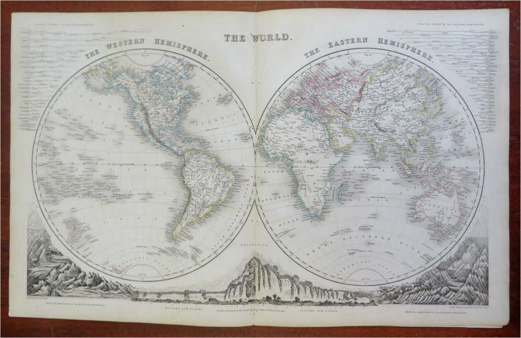

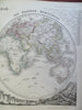
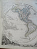
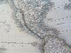
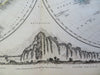
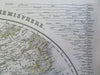
The World.
(Old Maps, 19th Century Maps, World Maps, Western Hemisphere, Eastern Hemisphere, Mountain Ranges, World Rivers).
Issued c. 1850-8, London. Engraved by J. Archer for James Gilbert.
Very attractive and uncommon mid 19th century engraved map with original hand color.
Well preserved, clean, nice looking example with pleasing age patina.
Original center fold as issued. Along the fold line are several tiny binding stitch holes which are easy to overlook.
Sheet Measures c. 13" H x 20" W.
Engraved Area Measures c. 11 1/4" H x 18" W.
Cartographic Reference(s):
Tooley's Dictionary of Mapmakers, vol. #1.
[R28026].