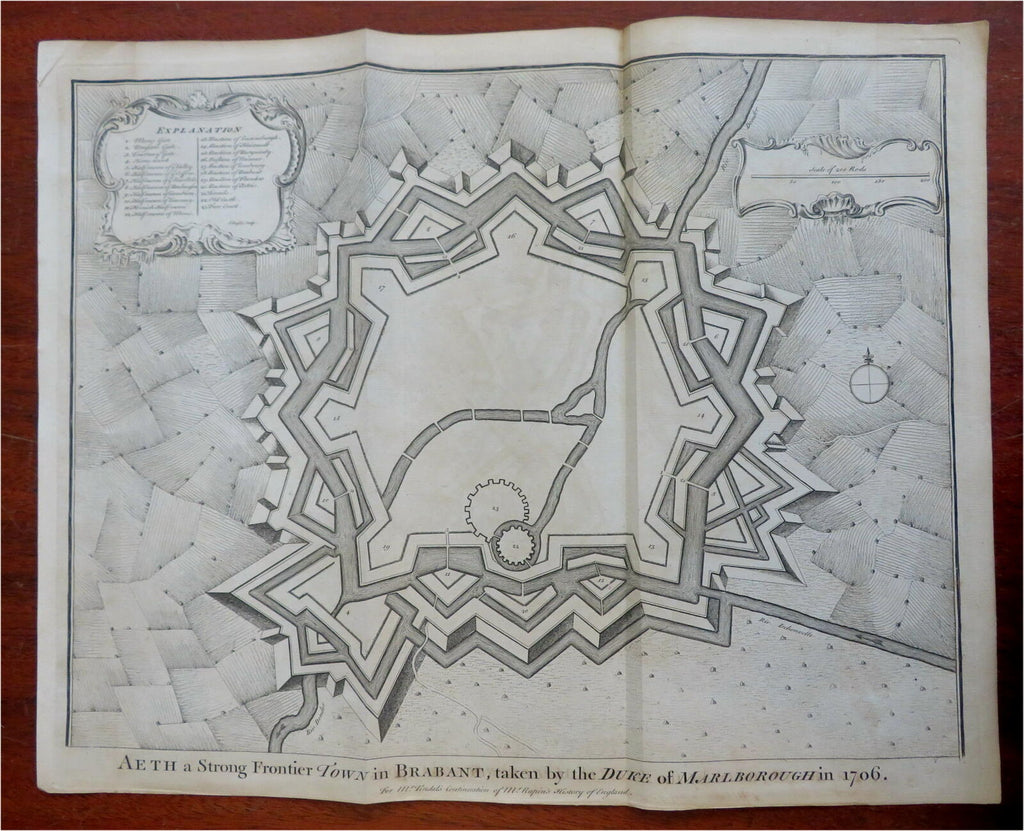
Ath Aeth Brabant Belgium Fortifications c. 1745 Basire engraved city plan
Brian DiMambro- Antiquarian Books, Maps & Prints


Aeth, A Strong Frontier Town in Brabant, Taken by the Duke of Marlborough in 1706.
(Old Maps, 18th Century Maps, Europe, Low Countries, Belgium, Brabant, Aeth, City Plan, Fortifications, War of Spanish Succession).
Issued c. 1745 London by Tindall. Engraved by J. Basire.
Mid-18th century engraved folio sheet fortified city plan map.
Nice looking example, pleasing age patina, any minor age flaws easy to overlook or forgive.
Original fold lines as issued.
Sheet measures c. 16 1/4" H x 21" W.
Engraved area measures c. 14" H x 18 1/2" W.
Cartographic Reference(s):.
Tooley's Dictionary of Mapmakers, vol. 4.
[R29051].
