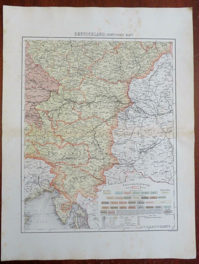
Austrian Empire Hapsburg Lands Istria Steyermark Vienna Salzburg c. 1850's map
Brian DiMambro- Antiquarian Books, Maps & Prints


Deutschland, Sudostliches Blatt.
(Europe, German Confederation, Austrian Empire, Istria, Krain, Steyermark, Bohemia, Moravia, Vienna, Salzburg, Klagenfurt, Pilsen).
Issued c. 1850's, Germany. Map by Feuerstein & Metzeroth.
Detailed mid 19th century color lithographed map with an extensive political key.
Well preserved, nice looking example with pleasing age patina.
Sheet Measures c. 19 1/2" H x 14 1/4" W.
Engraved Area Measures c. 14 1/2" H x 11 1/2" W.
Cartographic Reference(s):
Tooley's Dictionary of Mapmakers, vol. 2.
[R27259].
