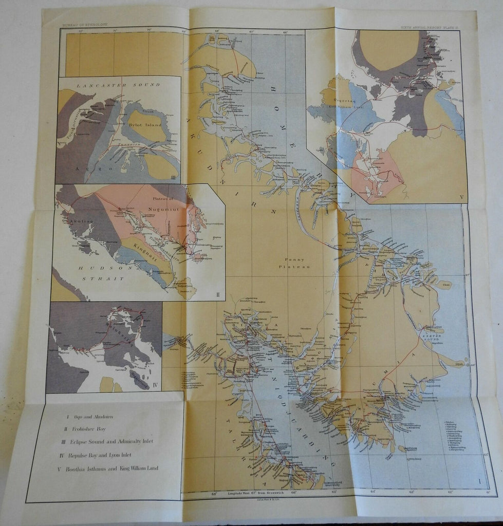
Canada First Americans Frobisher Bay Repulse Bay Eclipse 1888 Bien map
Brian DiMambro- Antiquarian Books, Maps & Prints


Untitled.
(North America, Canada, Hudson Straits, Frobisher Bay, Repulse Bay, First Americans).
Issued 1888, Washington by Julius Bien.
Late 19th century color lithographed map.
Well preserved, nice looking example with pleasing age patina.
Original fold lines as issed.
Sheet Measures c. 22 1/2" H x 20 1/2" W.
Cartographic Reference(s):
Tooley's Dictionary of Mapmakers, vol. 2.
[R23094].
