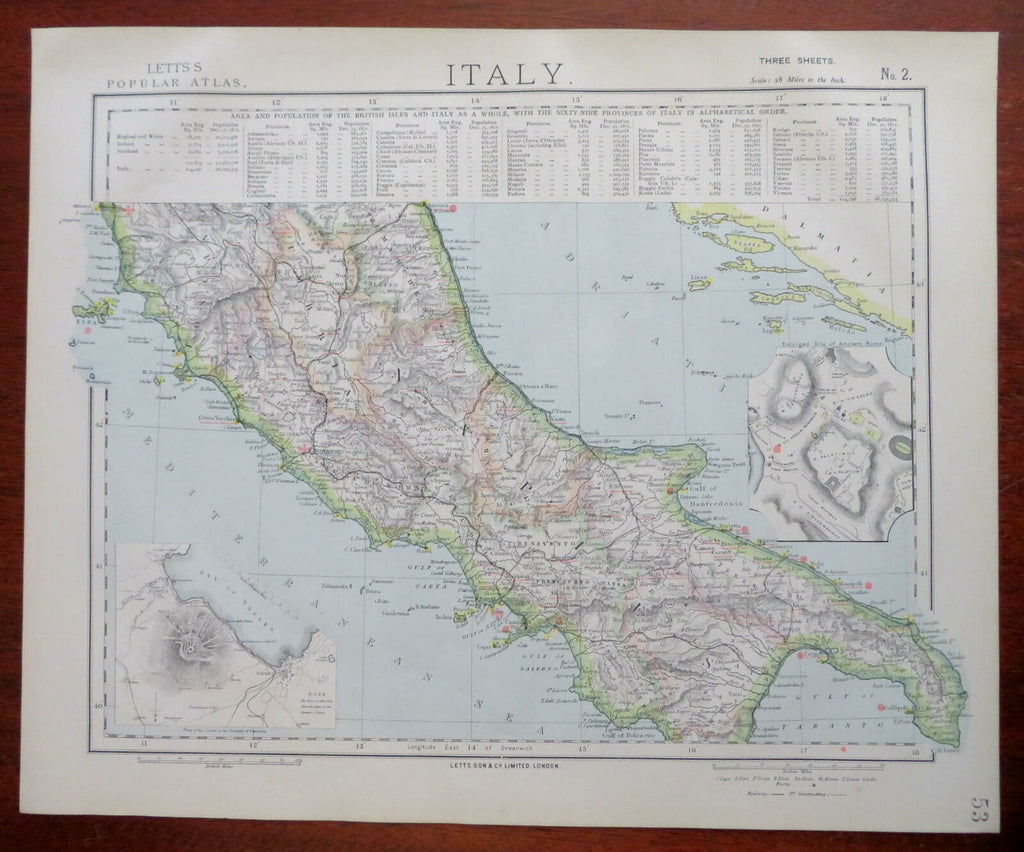
Central Italy Papal States Naples Rome Siena Elba 1883 Letts scarce map
Brian DiMambro- Antiquarian Books, Maps & Prints


Italy.
(Europe, Italy, Naples, Papal States, Rome, Tuscany, Elba).
Issued 1883, London by Letts.
Scarce late 19th century color lithographed map. A later re-issue of the SDUK maps originally printed some 40 years prior.
Of particular modern interest for noting ruins and old forts. The red coastal dots locate British consulates and vice-consulates, categories not typically found on maps of this era or region. Insets of Ancient Roman Forum and the Bay of Naples around Mt. Vesuvius. A comparative population key between the British Isles and Italy runs across the entire top.
Well preserved, clean, nice looking example.
Sheet Measures c. 17 1/8" H x 14" W.
Engraved Area Measures c. 15 1/4" H x 12 1/8" W.
Cartographic Reference(s):
Tooley's Dictionary of Mapmakers, vol. 3.
[R27155].
