Kingdom of Prussia Saxony Westphalia 1836 Brue large detailed map hand color
Brian DiMambro- Antiquarian Books, Maps & Prints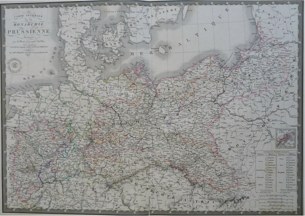
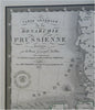
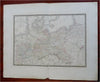
Carte Generale de la Monarchie Prussienne.
(Old Maps, 19th Century Maps, Europe, Germany, Kingdom of Prussia, Westphalia, Saxony, Pomerania, Posen, Brandenburg, Berlin).
Issued 1836, Paris by A. Brue. [Picquet].
Lovely and uncommon early 19th century folio sheet antique map. Engraved with original hand color, piano key border.
Longitude given from Paris.
Minor light offsetting, but overall clean and attractive.
Original fold line as issued, 4 1/2" split at bottom centerfold with some paper edge curling now temporarily closed with easily removable archival tape.
Sheet measures c. 19" x 24 1/2"
Engraved area measures c. 14" x 20"
[R30435]
Tooley's Dictionary of Mapmakers, v. 1, p. 199.