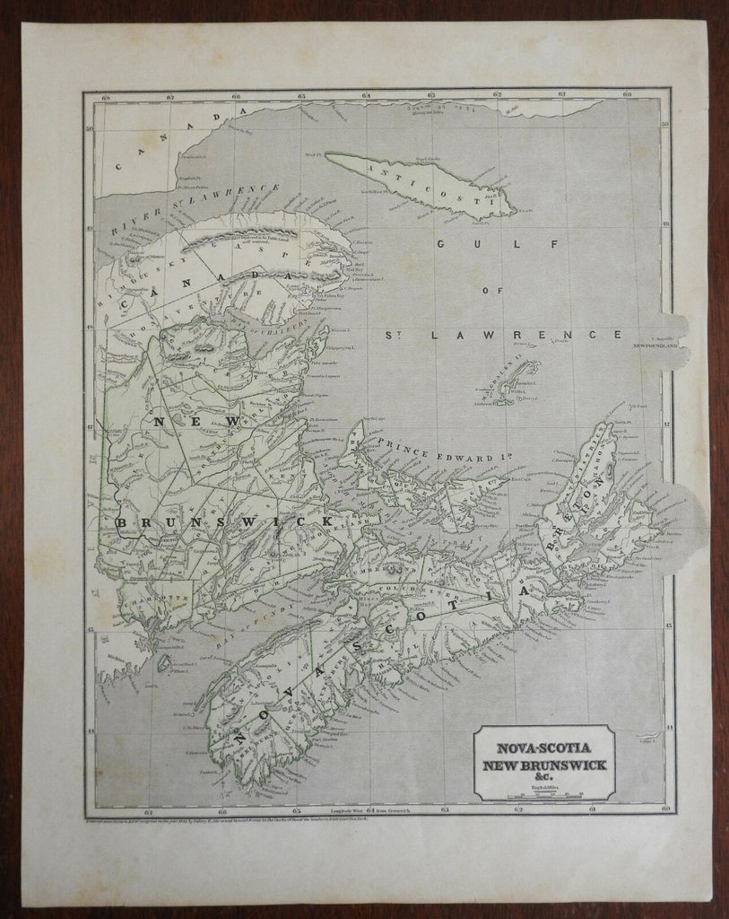
Nova Scotia & New Brunswick Canadian Maritime Provinces 1843 Morse & Breese map
Brian DiMambro- Antiquarian Books, Maps & Prints


Nova-Scotia, New Brunswick &c.;
(North America, Canada, Maritime Provinces, New Brunswick, Nova Scotia, Cape Breton Island, Prince Edward Island, Gulf of St. Lawrence).
Issued 1843, New York by Morse & Breese.
Mid 19th century wax engraved (cerographic) map with printed color.
Remains a nice looking example with a pleasing age patina. Any age flaws mostly minor and easy to overlook or forgive.
Sheet Measures c. 14 1/4" H x 17 1/2" W.
Engraved Area Measures c. 12" H x 14 1/2" W.
Cartographic Reference(s):
Tooley's Dictionary of Mapmakers, vol. 3.
[R25968].
