Plymouth Kingston Wareham Massachusetts 1898 topo chart Old Colony Railroad
Brian DiMambro- Antiquarian Books, Maps & Prints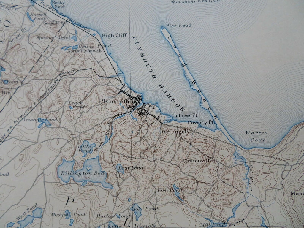

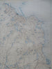
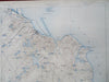
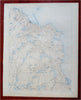
Massachusetts Plymouth Sheet.
(Old Maps, 19th Century Maps, Topo Charts, Americana, United States, New England, Massachusetts, Plymouth, Kingston, Wareham, Bourne, Carver, Old Colony Railroad).
Issued 1898, Washington D.C. by U.S. Coast and Geodetic Survey. Surveyed 1885-6.
Late 19th century color lithographed topo chart. Depicts railroads (including the Old Colony Railroad) in addition to elevations and city locations.
Well preserved, nice looking example with pleasing age patina.
Sheet Measures c. 19 3/4" H x 15 3/4" W.
Printed Area Measures c. 17 1/2" H x 13 1/4" W.
Cartographic Reference(s):
Tooley's Dictionary of Mapmakers, vol. 4..
[R30507].