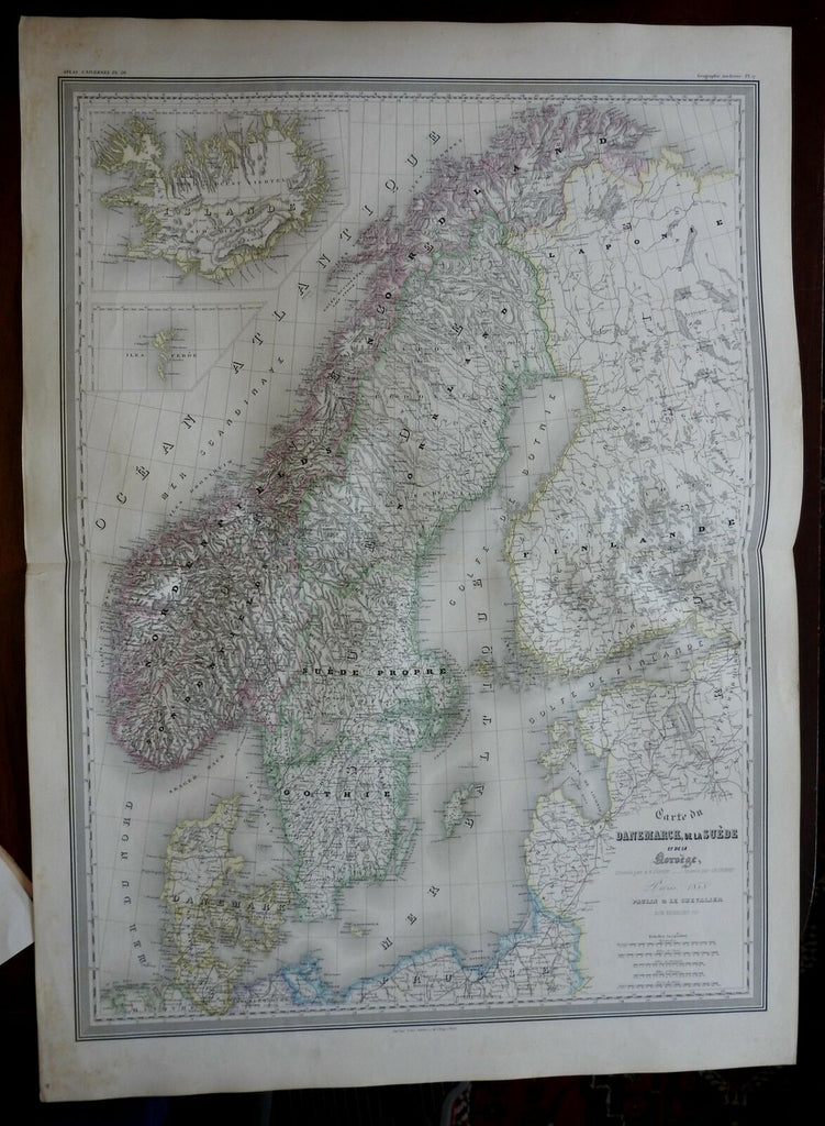
Scandinavia Denmark Sweden Norway Iceland Faroe Islands 1855 DuFour Folio map
Brian DiMambro- Antiquarian Books, Maps & Prints


Carte du Danemarck, de la Suede, et de la Norvege.
(Europe, Scandinavia, Denmark, Sweden, Norway, Finland, Iceland, Faroe Islands, Baltic Sea).
Issued 1855, Paris, by A.H. Dufour.
Mid-19th century engraved map, with lovely original hand color. A monumental map with a fine level of detail.
Nice looking example, pleasing age patina, any minor age flaws easy to overlook or forgive.
Sheet Measures c. 33" H x 24" W.
Engraved Area Measures c. 29 1/2" H x 21 3/4" W.
Cartographic Reference(s):
Tooley's Dictionary of Mapmakers, vol. 1, pp. 396.
[R22361].
