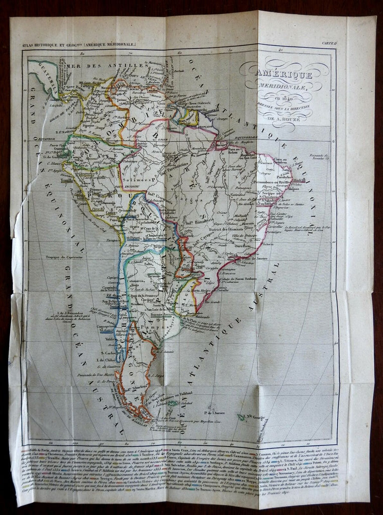
South America Colombia Brazil Peru Patagonia Chile La Plata 1840 Houze map
Brian DiMambro- Antiquarian Books, Maps & Prints


Amerique Meridionale en 1840.
(South America, Colombia, Peru, Venezuela, Guyana, Brazil, Chile, La Plata, Bolivia, Uruguay, Paraguay, Patagonia, Argentina).
Issued 1840, Paris by A. Houze.
Mid 19th century engraved map with original outline hand color.
Across the bottom is a long detailed list of dates of discovery of many key locations with color codes.
Nice looking example, pleasing age patina, short closed tear at left edge which extends slightly inside the distance graticule to the ocean area, any minor age flaws easy to overlook or forgive.
Original fold lines as issued.
Sheet measures c. 13 1/8" H x 9 3/4" W.
Engraved area measures c. 10 5/8" H x 8 1/2" W.
Cartographic Reference(s):.
Tooley's Dictionary of Mapmakers, vol. 2.
[R22796].
