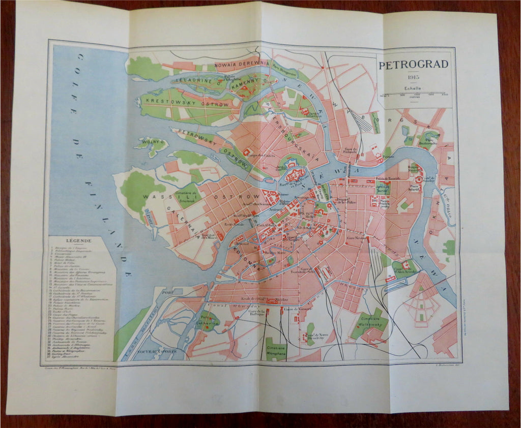
St. Petersburg Petrograd Russian Empire World War I 1915 detailed city plan
Brian DiMambro- Antiquarian Books, Maps & Prints


Petrograd - 1915.
(Old Maps, Early 20th Century Books, World War I, Russian Empire, Petrograd, St. Petersburg, Detailed City Plan).
Issued 1915, Paris by P. Monsanglant. Map by L. Desbuissons.
Uncommon early 20th century color lithographed city plan.
Well preserved, nice looking example with pleasing age patina.
Original fold lines.
Sheet Measures c. 12 3/4" H x 15 1/2" W.
Printed Area Measures c. 10" H x 13" W.
Cartographic Reference(s):
Tooley's Dictionary of Mapmakers, vol. 1.
[B7107].
