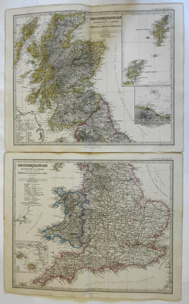
United Kingdom England Scotland Wales 1862 Peterman detailed two sheet map
Brian DiMambro- Antiquarian Books, Maps & Prints


Grossbritannien: Nordliches & Sudliches Blatt.
(Europe, British Isles, United Kingdom, England, Wales, Scotland, Channel Islands, Orkneys, Shetlands, Hebrides).
Issued 1862, Gotha by Justus Perthes for Stieler. Map by Petermann. Engraved by Poppey & Jungmann.
Very detailed mid-19th century engraved map with original hand color.
Nice looking example, clean, pleasing age patina, any minor age flaws easy to overlook or forgive.
Map consists of two sheets. Please see photos.
Original center fold as issued.
Sheets Measure c. 14 3/4" H x 17 1/2" W.
Cartographic Reference(s):
Tooley's Dictionary of Mapmakers, vol. 4.
[R23863].
