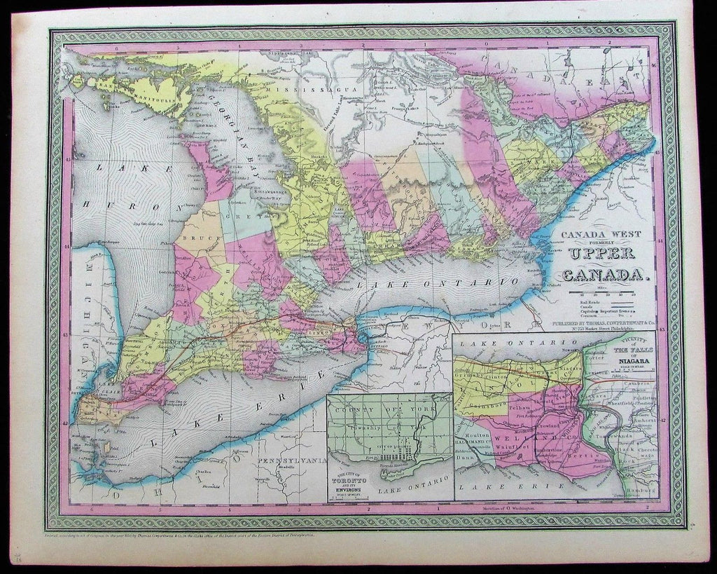
Upper Canada Great Lakes Niagara Falls Huron Erie Ontario 1850 antique color map
AntiqueMapsPrints.com


Canada West
Formerly Upper Canada
(Ontario / Lake Erie / Lake Huron / Niagara Falls / etc.)
Issued Philadelphia, c.1850 by Augustus Mitchell.
There are several variants of this map, this version with insets lower right of Toronto & Falls of Niagara.
Lovely antique lithographed map with original hand color.
In near VG or better condition, overall the image is clean, well preserved and very attractive.
Sheet measures c. 17" x 13 1/2"
Engraved area measures c. 15" x 12"
Folio.
[R11438]
