Chinese Empire Mongolia Tibet Korea Japan 1852 Levasseur hand color map
Brian DiMambro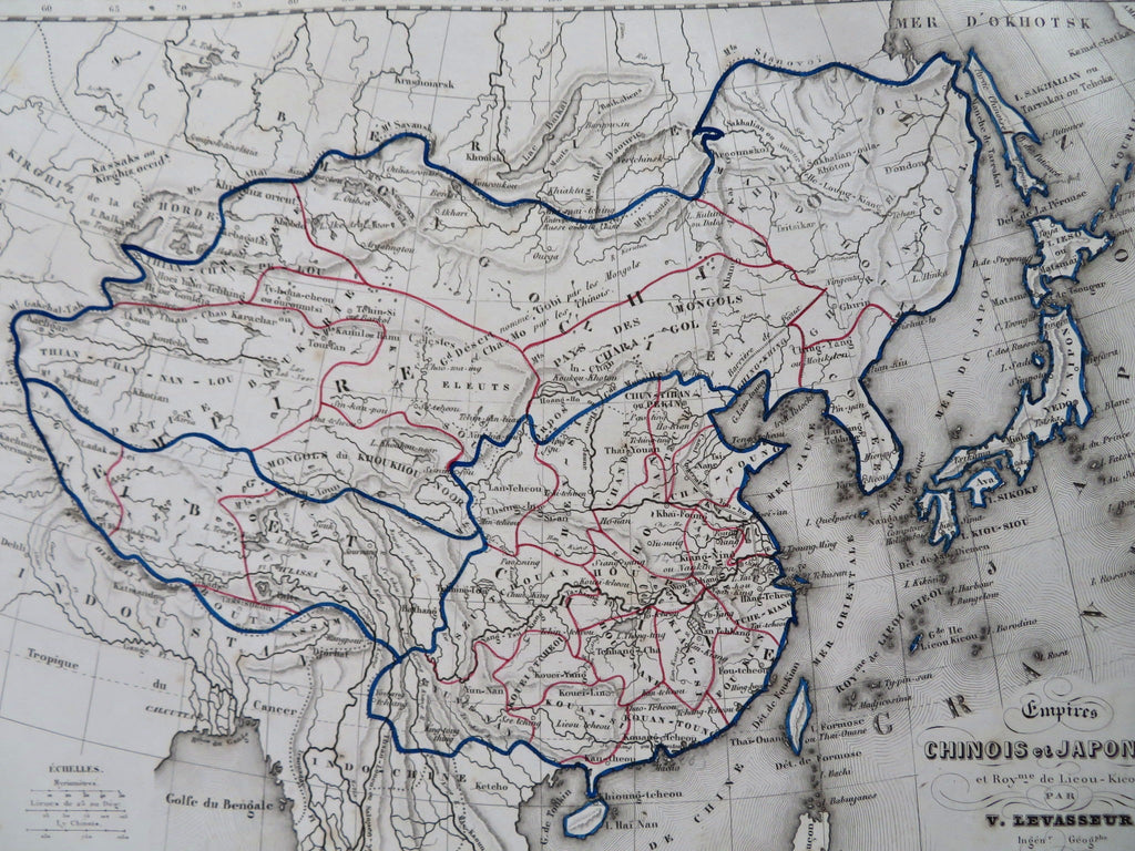
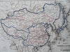
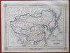
Empire Chinois et Japonnais et Royaume de Leou-Kieou.
(Old Maps, 19th Century Maps, Asia, Qing Empire, China, Mongolia, Tibet, Korea, Manchuria, Japan).
Issued 1852, Paris by Basset. Map by V. Levasseur. Engraved by Smith.
Decorative mid-19th century engraved map with original outline hand color.
Remains a nice looking example with a pleasing age patina. Any age flaws mostly minor and easy to overlook or forgive.
Sheet Measures c. 10" H x 13 1/2" W.
Engraved Area Measures c. 9" H x 12" W.
Cartographic Reference(s):
Tooley's Dictionary of Mapmakers, vol. 1.
[R32406].