France Brittany Burgundy Normandy Provence Champagne Gascogne 1719 Mallet 2 maps
Brian DiMambro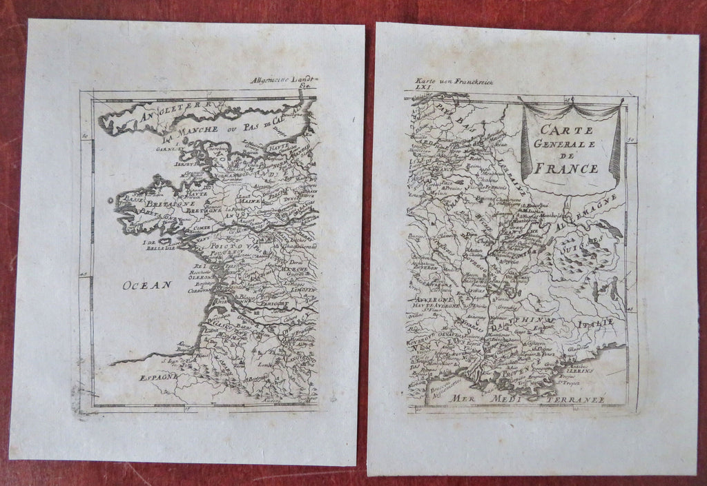

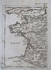
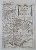
Carte Generale de France.
(Europe, France, Brittany, Normandy, Poitou, Gascogne, Aquitaine, Provence, Burgundy, Champagne, Ile de France,).
Issued 1719, Frankfurt for A.M. Mallet.
Early 18th century engraved double page map. Map is printed on two separate sheets of paper as issued, please see photos.
Nice looking example, pleasing age patina, any minor age flaws easy to overlook or forgive.
Sheets measures c. 7 1/2" H x 4 3/4" W.
Engraved area measures c. 5 3/4" H x 9" W.
Cartographic Reference(s):.
Tooley's Dictionary of Mapmakers, vol. 3. pp 196.
[B12243].