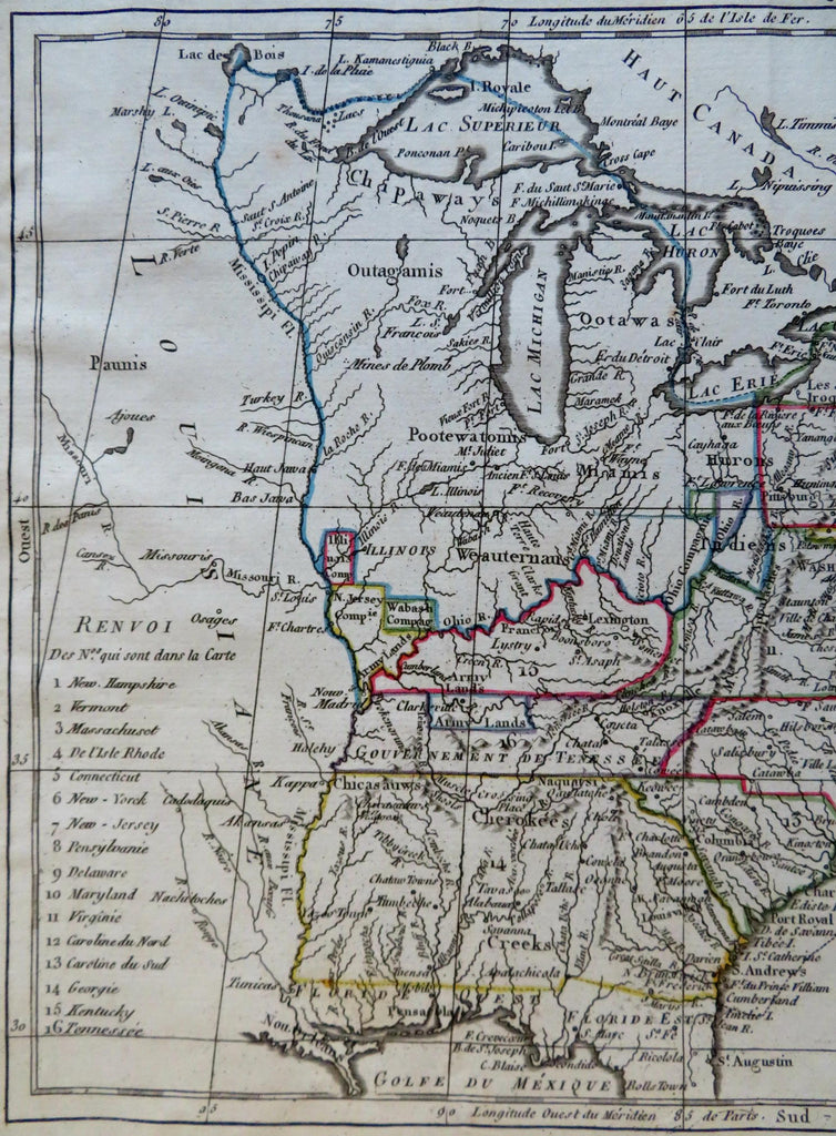
United States Company Ohio Illinois Army Lands Grants 1806 Glot rare map
Brian DiMambro


Les Etats Unis D'Amerique.
(Old Maps, 19th Century Maps, North America, United States, New England, New York, Pennsylvania, Northwestern Territory, Kentucky, Tennessee, Georgia, South Carolina, North Carolina, Virginia).
Issued 1806, Paris by Desray for Herisson. Engraved by Glot.
Scarce early 19th century antique engraved map with original hand color.
Of historical note for the depiction of different land grants which include "New Jersey Company", 'Army Lands", "Illinois Company" and "Wabash Company" as well as "Ohio Company" and another unnamed one beside it. Government of Tenessee (sic) named, Georgia curiously unnamed (named within the key only) but territorial across to the Mississippi river and essentially all tribal names. District of Maine with a curious outline shape, Florida still divided into East and West.
Well preserved, nice looking example with pleasing age patina.
Faint soft original fold lines as issued for a very rare tiny pocket atlas format, map was well pressed flat long ago.
Sheet Measures c. 8" H x 9" W.
Engraved Area Measures c. 7" H x 8 1/2" W.
Cartographic Reference(s):
Tooley's Dictionary of Mapmakers, vol. 1.
[R32022].
