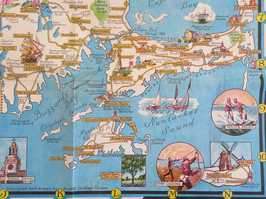
Massachusetts Promotional Travel cartoon map c. 1965 tourist souvenir map
Brian DiMambro- Antiquarian Books, Maps & Prints


(Americana, Travel, Tourism, New England, Massachusetts, Vintage Advertising, Promotional Maps).
A World of Fun and Relaxation: Massachusetts, the Historic Vacationland. A Travel Map to help you feel at home in the Bay State.
Published c. 1960-70, United States. Drawn & designed by Ernest Dudley Chase.
Folding tourist souvenir map. Text in English.
Large inset at bottom center shows the direct travel roads from the 1964-5 World's Fair in NY to Massachusetts.
Publisher's color pictorial paper wrappers, a large single sheet multi-folded into panels and printed on both sides. One side is tourist related info of all kinds, the other side a frameable cartoon pictorial map of the state with hundreds of small illustrations.
Item is old and shows some signs of handling and time. Item is not new or in "new" condition.
Paper covers age worn, slight rubbing, remains overall clean and attractive as a fragile survival.
Paper is still well preserved, clean, sound.
The uncommon and elusive map displays a pleasing and unique age patina and is in nice antiquarian condition, any age flaws easy to overlook or forgive.
Please review photos for more detail and our best attempt to convey how this vintage pictorial item survives.
Map when open measures c. 34" W x 21 1/4" H.
Covers measures c. 5 1/2" H x 8 1/2" W.
[B5179].
