Cuba Caribbean Sea Havana Bahamas Isle of Pines 1887 Bradley-Mitchell map
Brian DiMambro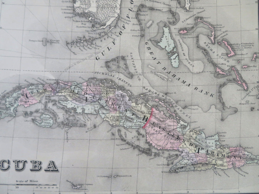
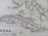
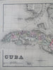
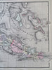
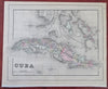
Cuba.
(Old Maps, 19th Century Maps, North America, Caribbean Sea, Cuba, Bahamas, Havana, Isle of Pines, Santiago de Cuba, Las Tunas, Santa Clara).
Issued 1887, Philadelphia by Bradley, successor to S.A. Mitchell.
Fine oversize late 19th century lithographed map, with original hand color.
This late Mitchell map was issued by Bradley for a short period before disappearing from publication.
Attractive example, clean, pleasing age patina, any minor age flaws easy to overlook or forgive.
Sheet Measures c. 12 1/2" H x 15 1/4" W.
Engraved Area Measures c. 11" H x 14 1/2" W.
Cartographic Reference(s):
Reps, American Maps and Mapmakers, p. 313.
Tooley's Dictionary of Mapmakers, vol. 1 & vol. 4, pp. 260.
[R32263].