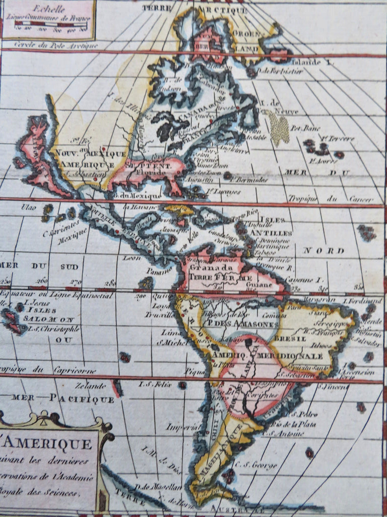
North & South America California as an Island 1774 rare miniature map
Brian DiMambro


L'Amerique.
(Old Maps, 18th Century Maps, Engraved Maps, North America, South America, California as an Island).
Issued 1758-74, Paris by the French Academy of Royal Sciences. A re-issue with modifications of a c.1680's map by Herman van Loon (see McLoughlin).
Charming and scarce mid-18th century engraved miniature map with attractive hand color.
Remains a nice looking example with a pleasing age patina. Any age flaws mostly minor and easy to overlook or forgive.
Sheet Measures c. 8" H x 6 1/2" W.
Engraved Area Measures c. 7" H x 5 1/2" W.
Cartographic Reference(s):
McLoughlin, Mapping of California as an Island, 70 (rare Italian version of this map) & 72 (noting only the c.1680 version).
Tooley's Dictionary of Mapmakers, vol. 2.
[B13252].
