Poland Dismembered Provinces & Lithuania 1791 Neele engraved hand color map
Brian DiMambro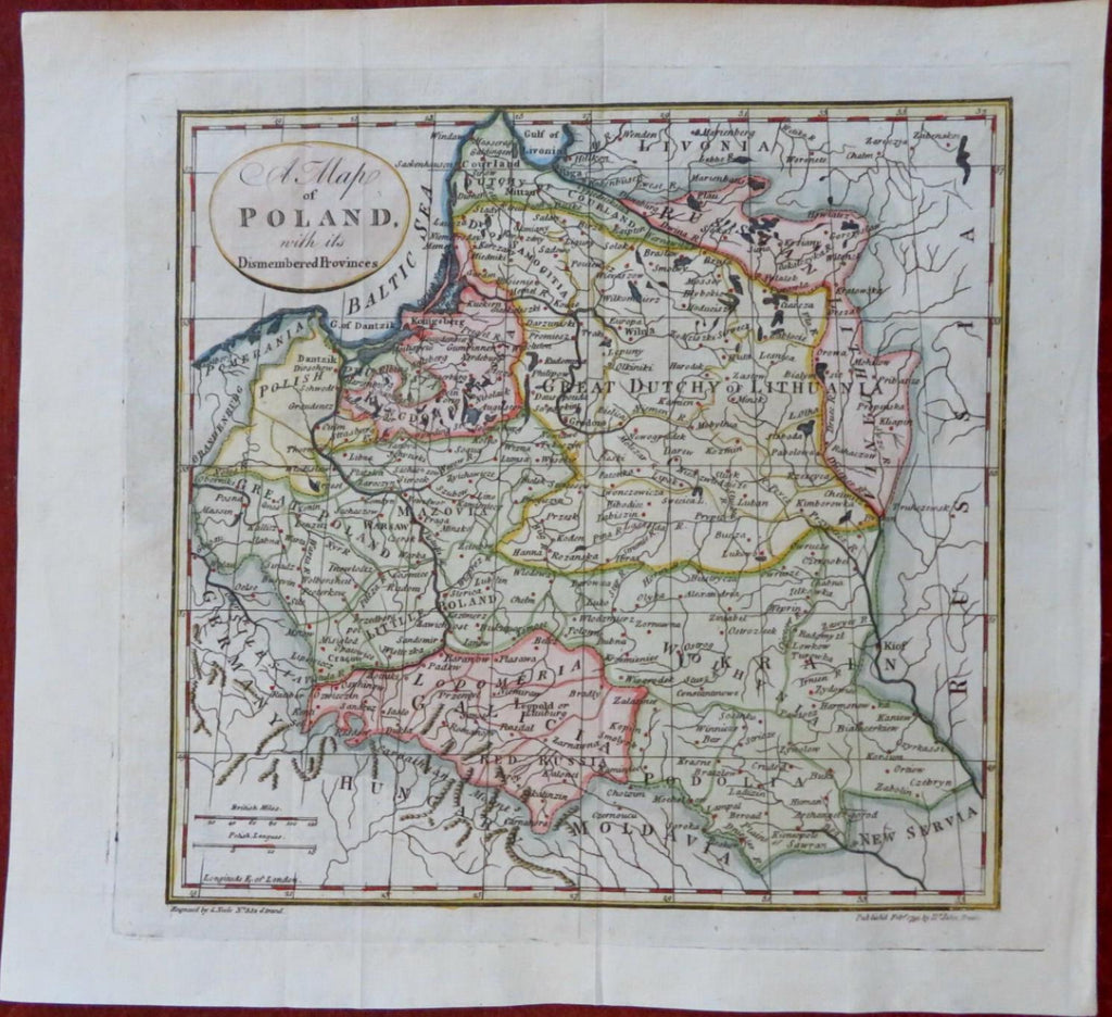
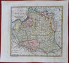
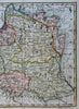
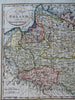
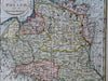
A Map of Poland with its Dismembered Provinces.
(Old Maps, 18th Century Maps, Europe, Poland, Lithuania, Galicia, Warsaw, Konigsberg, Vilnius, Danzig, Courland).
Issued 1791, London by Trussler. Engraved by Neele.
Scarce late 18th century engraved map with attractive hand color.
Remains a nice looking example with a pleasing age patina. Any age flaws mostly minor and easy to overlook or forgive.
Original fold lines as issued.
Sheet Measures c. 8 1/4" H x 9" W.
Engraved Area Measures c. 6 3/4" H x 6 3/4" W.
Cartographic Reference(s):
Tooley's Dictionary of Mapmakers, vol. 4.
[R31698].