South America continent 1895 Bradley two sheet map
Brian DiMambro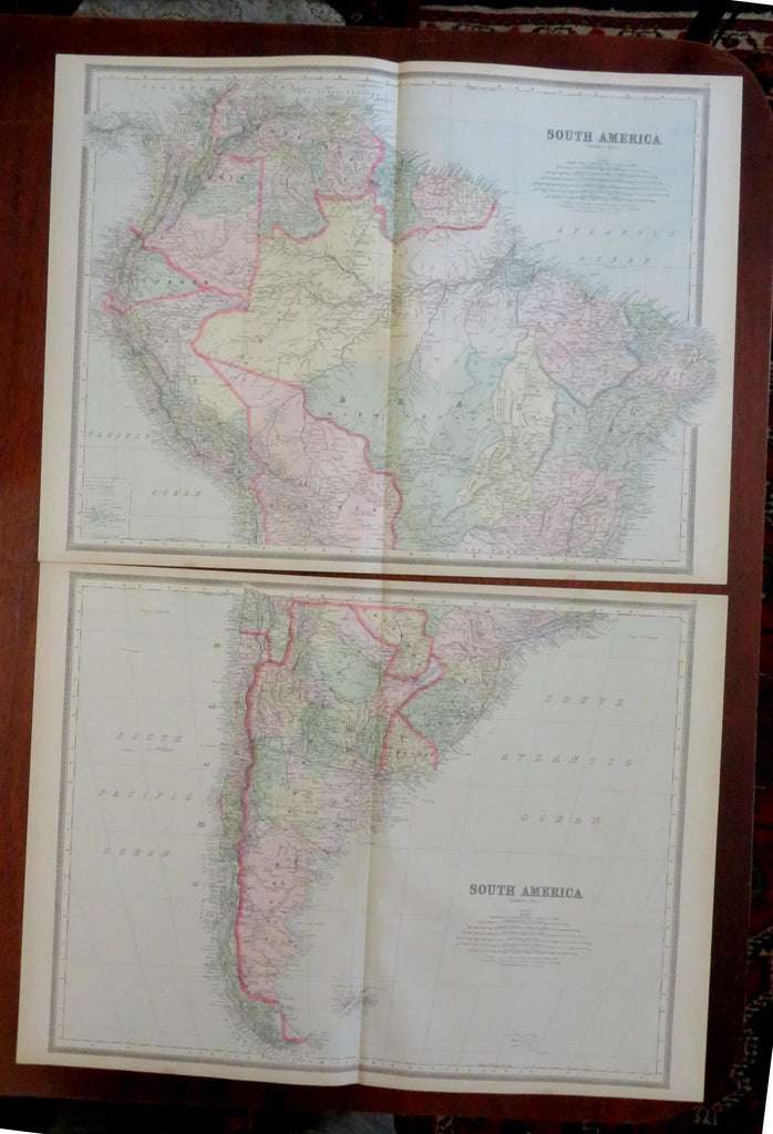

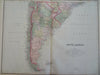


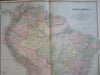
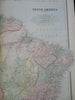

South America.
(Old Maps, 19th Century Maps, South America, Brazil, Peru, Colombia, Venezuela, Guyana, French Guyana, Suriname, Ecuador, Bolivia, Paraguay, Uruguay, Chile, Argentina).
Issued 1895, Philadelphia by Bradley.
Late 19th century large color lithographed map. Map consists of two sheets, please see photos.
Several areas are still labelled as "Unexplored", note the small inset at middle left of the Galapagos islands.
Well preserved, nice looking example with pleasing age patina.
Original center fold as issued.
Sheet Measures c. 18 3/4" H x 25" W.
Printed Area Measures c. 17 1/4" H x 23 3/4" W.
Cartographic Reference(s):
Tooley's Dictionary of Mapmakers, vol. 1.
[R31940].