Kingdom of Bohemia Hapsburg Empire Austria-Hungary Prague 1858-59 map
Brian DiMambro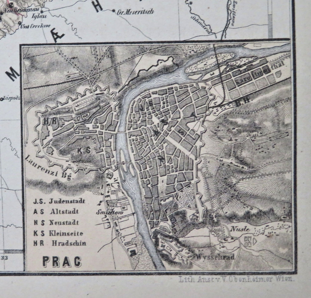

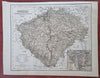
Boehmen mit Benutzung der Kummersberggischen Karte von Boehmen.
(Old Maps, 19th Century Maps, Europe, Austria-Hungary, Hapsburg Empire, Bohemia, Prague, Pilsen).
Issued 1858-59, Vienna by Obenheimer. Map by A. Skrzeszewski.
Mid 19th century color lithographed map.
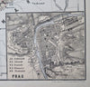
Inset plan of Prague at bottom right.
Well preserved, nice looking example with pleasing age patina.
Sheet Measures c. 9" H x 11 1/2" W.
Engraved Area Measures c. 7" H x 10" W.
Cartographic Reference(s):
Tooley's Dictionary of Mapmakers, vol. 4.
[R33752].