Kingdom of France Brittany Normandy Champagne Languedoc Paris 1757 Jefferys map
Brian DiMambro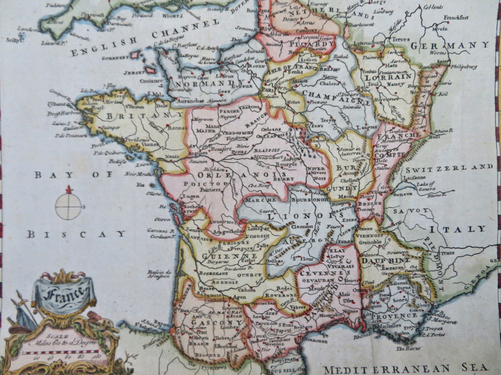
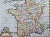
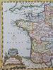
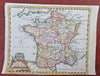
France.
(Old Maps, 18th Century Maps, Europe, France, Brittany, Normandy, Champagne, Burgundy, Lyon, Gascony, Bordeaux, Orleans, Rennes, Paris, Orleans, Dijon, Toulouse, Marseilles).
Issued 1757. Engraved by T. Jefferys.
Mid 18th century engraved map with attractive hand color.
Remains a nice looking example with a pleasing age patina, bottom bank margin trimmed close to neat line. Any age flaws mostly minor and easy to overlook or forgive.
Original fold lines as issued.
Sheet Measures c. 7 3/4" H x 10" W.
Engraved Area Measures c. 7 1/4" H x 9" W.
Cartographic Reference(s):
Tooley's Dictionary of Mapmakers, vol. 2.
[R33571].