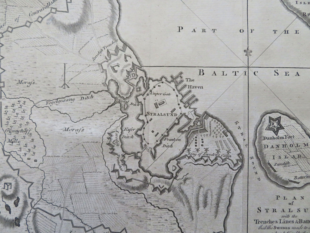
Stralsund Germany Baltic Sea Military Siege 1758 city plan rare periodical map
Brian DiMambro


Plan of Stralsund, with the Trenches Lines & Batteries, that the Swedes made to defend it when besieged by the Danes & Prussians in 1715.
(Old Maps, 18th Century Maps, Europe, Germany Stralsund, Baltic Sea, Military Fortifications, Siege Warfare).
Issued 1758, London for Gentleman's Magazine.
Scarce mid-18th century engraved map. Issued within a monthly periodical of this era.
Nice looking example, pleasing age patina, any minor age flaws easy to overlook or forgive. Original fold-lines.
Sheet measures c. 8 3/8" H x 10 3/8" W.
Engraved area measures c. 7 1/2" H x 9 7/8" W.
Cartographic Reference(s):.
Jolly, Maps in British Periodicals, GENT-120.
[R35790].
