Abyssinian Empire East & Central Africa Red Sea c.1630s Hondius hand color map
Brian DiMambro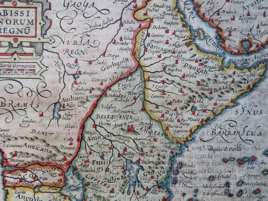
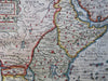
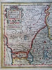
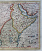
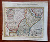
Abissinorum Regnum: Hondius His Map of the Abissine Empire.
(Old Maps, 17th Century Maps, Africa, East Africa, Abyssinia, Ethiopia, Red Sea).
Issued c. 17th century (c.1630's) , likely Amsterdam. Map by Hondius.
17th century engraved map with attractive hand color. Large strapwork title cartouche.
Tip of Arabia seen at top right corner.
The geography shown is largely imaginative or speculative, which includes long fantasy rivers everywhere.
Remains a nice looking example with a pleasing age patina. Some visible "show-through" in the ocean area. The left side has been back with matching old paper, perhaps for use as an inset tab. Any age flaws mostly minor and easy to overlook or forgive.
Sheet Measures c. 7" H x 8" W.
Engraved Area Measures c. 5 1/4" H x 7" W.
Cartographic Reference(s):
Tooley's Dictionary of Mapmakers, vol. 2.
[R30998].